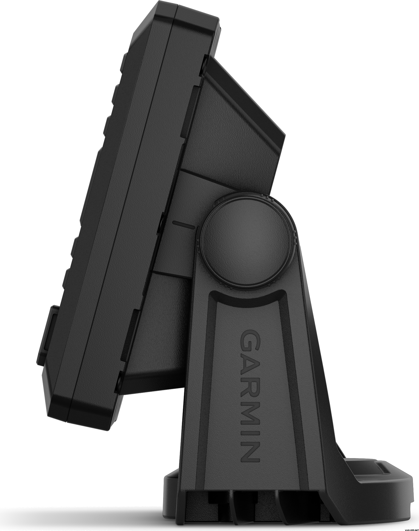
Garmin ECHOMAP UHD2 52cv with GT20-TM Transducer
Ce produit n'est pas disponible en ce moment.
Disponibilité
Description du produit
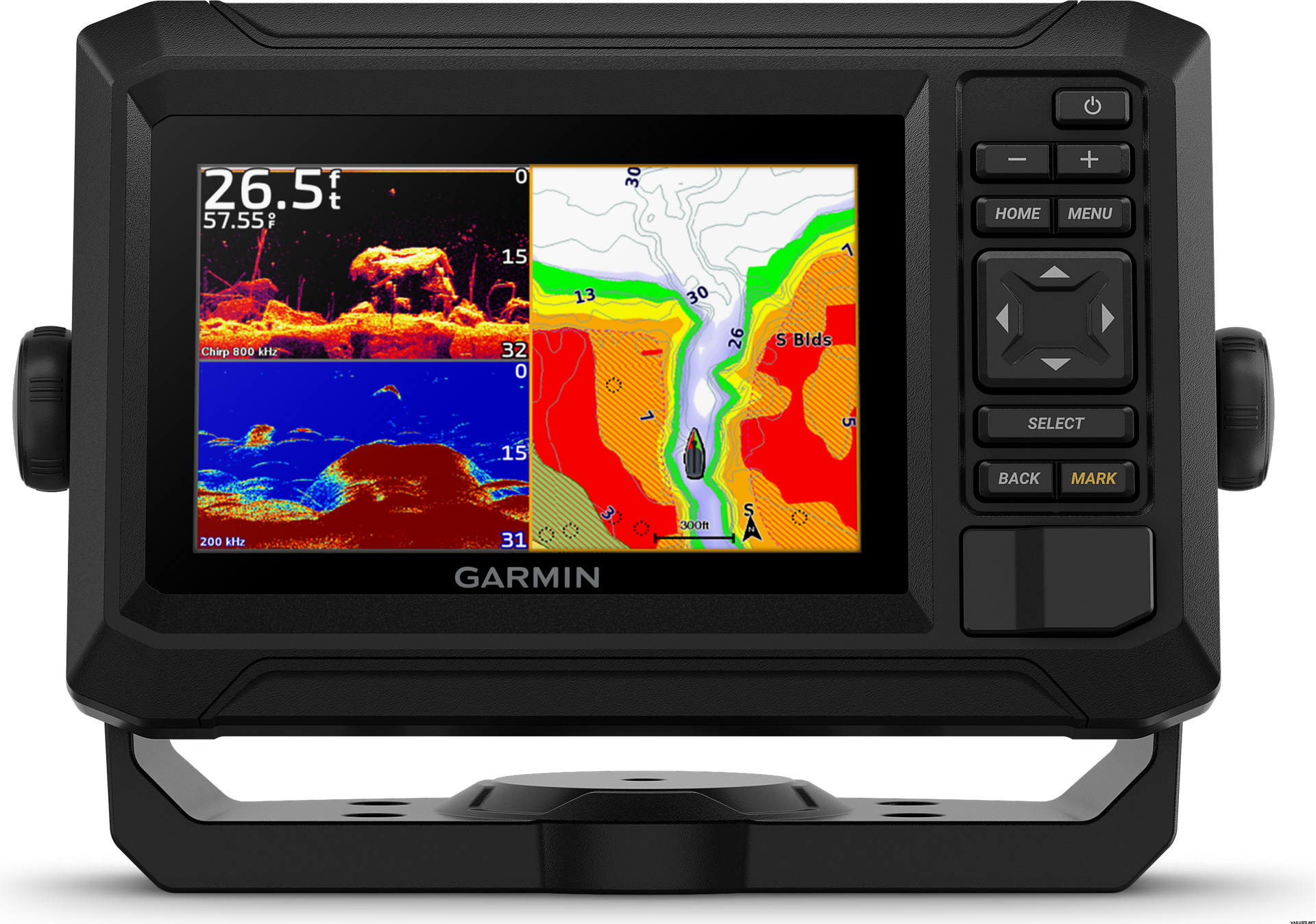
Why talk to a local when you can fish like one? They say locals know best. But anyone who says that hasn’t fished with the ECHOMAP UHD2 5” chartplotters with clear, crisp sonar and mapping.
With crisp, clear traditional sonar and brilliant ClearVü sonar, the fish will have nowhere to hide. High-contrast vivid scanning sonar color palettes make it easier than ever to distinguish targets and structure. Your ECHOMAP UHD2 device supports a variety of Garmin transducers for two types of sonar: Garmin traditional and ClearVü scanning sonars.
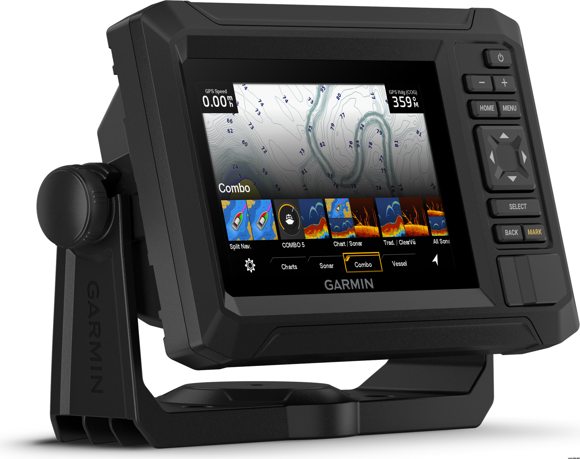
Know the waters you’re in as if you grew up fishing them by using built-in LakeVü g3 inland maps, BlueChart g3 coastal charts or worldwide basemap with support for Garmin Navionics+™ and Garmin Navionics Vision+™ marine cartography. If you have another compatible ECHOMAP UHD2 chartplotter on your boat, the 5” and 7” models can wirelessly share information — such as sonar, waypoints and routes — with them. Built-in Wi-Fi connectivity pairs with the free all-in-one ActiveCaptain mobile app for access to the OneChart feature, smart notifications, software updates, Garmin Quickdraw Community data and more.
- The bright 5” keyed display is made for convenience
- Get double the views with Garmin CHIRP traditional and ClearVü scanning sonars
- What’s under the water looks even better with high-contrast vivid color palettes
- Enjoy No. 1 in mapping with LakeVü g3 and BlueChart® maps with Navionics® data
- Wi-Fi® connectivity between compatible chartplotters makes it easy to share info
- More features with ActiveCaptain app
Included
ECHOMAP UHD2 5"
GT20-TM transducer
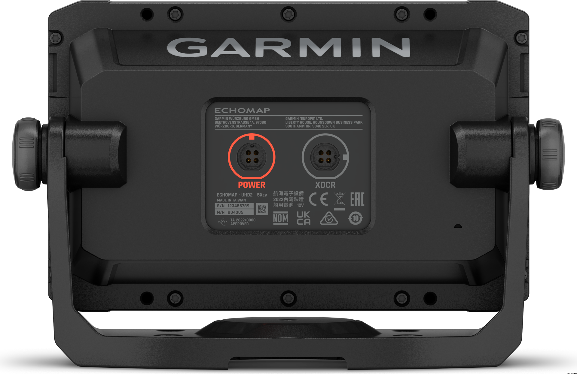
Power/data cable
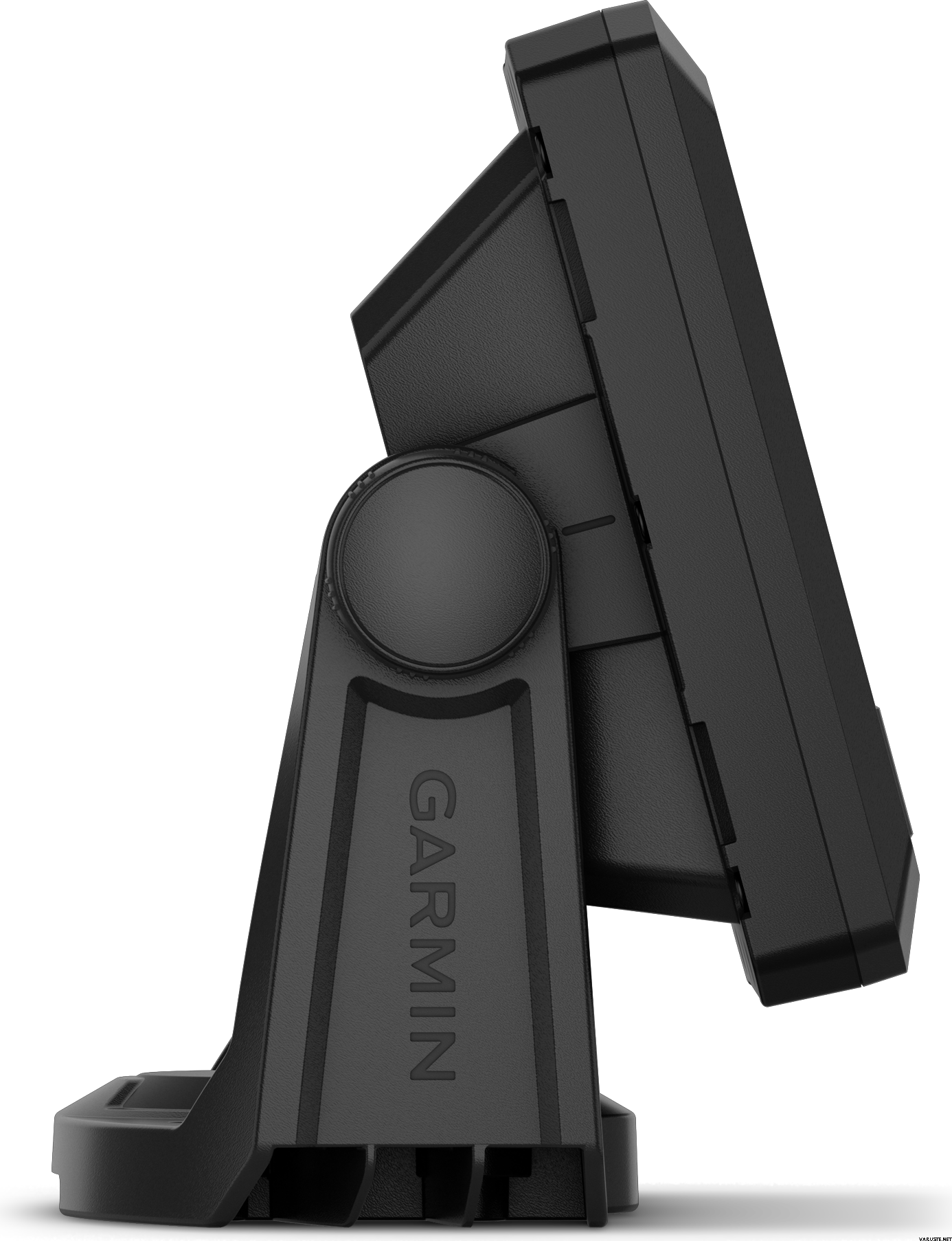
Tilt mount
Flush mount
Hardware
Documentation
Technical Specifications
Poids
0,5 kg
(avec l'emballage de vente 1,5 kg)
Garantie
24 mois
Pays de fabrication
CommentairesCommenter
Marque
 évaluations
