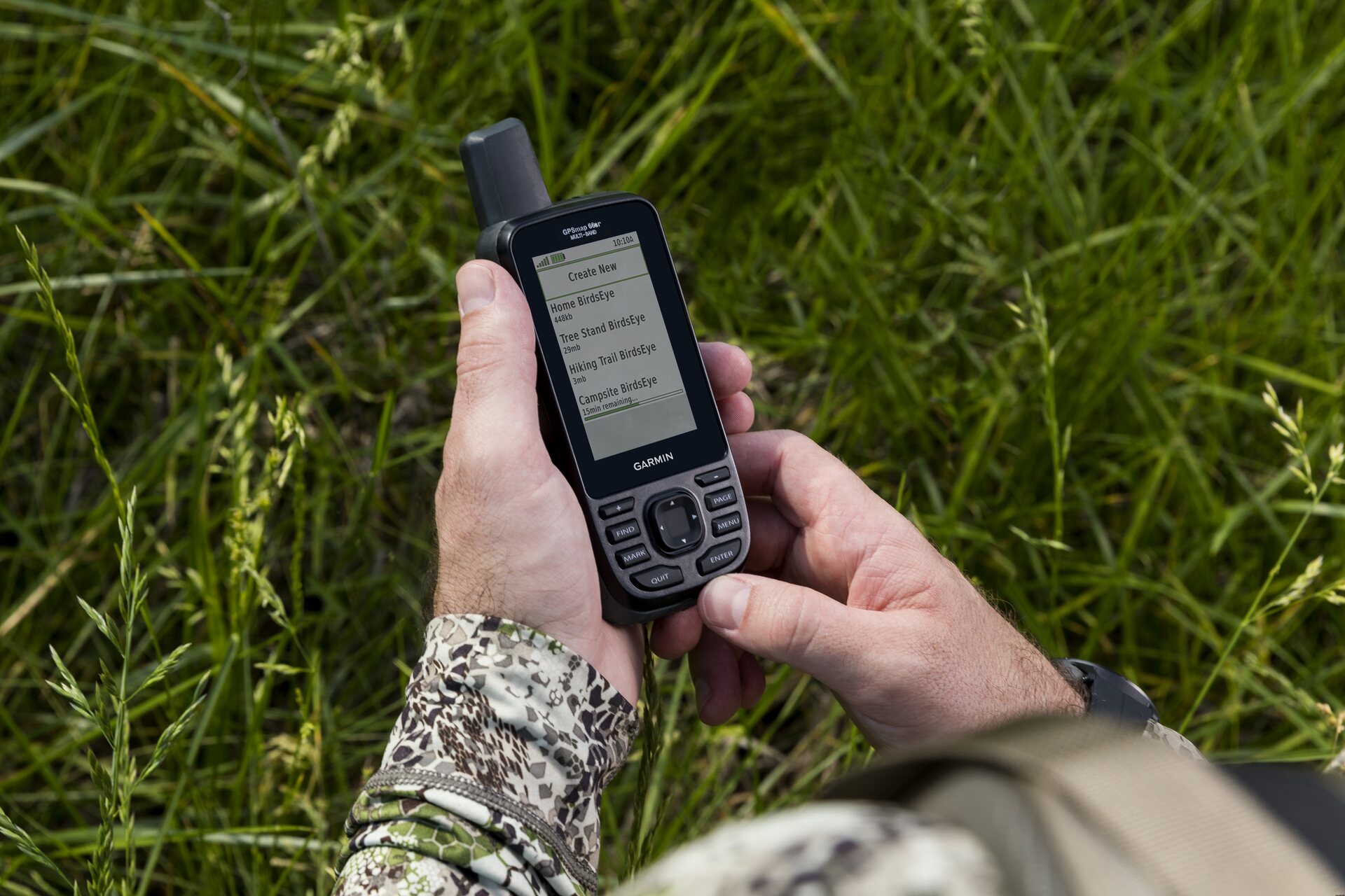
Garmin GPSMAP 66sr ja TopoActive Europe -kartat (Länsi-Euroopan pakkaus)
Ce produit n'est pas disponible en ce moment.
Disponibilité
Évaluations
| Note globale | (6 évaluations) |
Description du produit
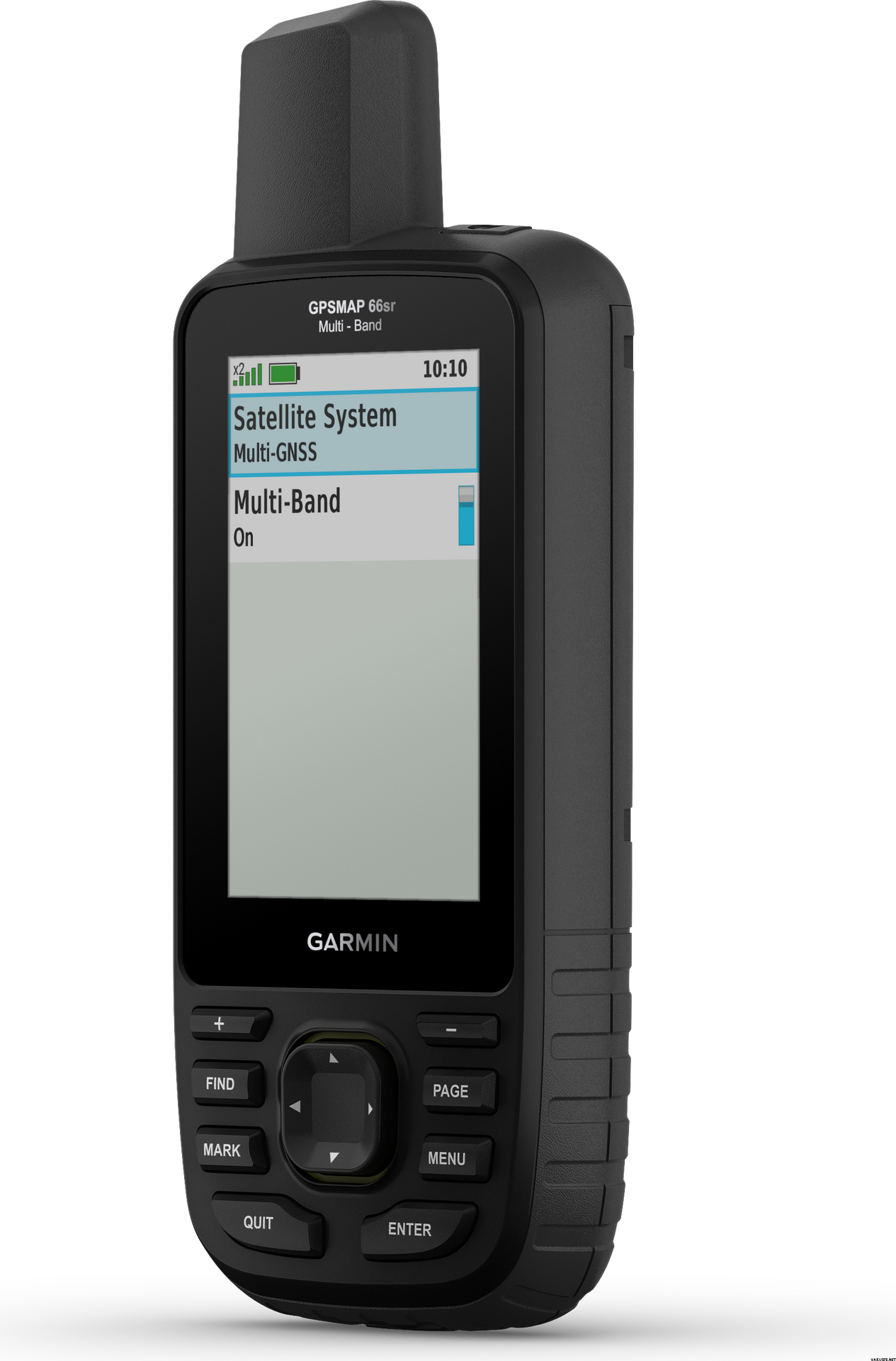
Garmin GPSMAP 66sr is a multi-band/GNSS handheld with sensors and TopoActive Europe maps. Whether you’re hiking, hunting, climbing, geocaching, kayaking or mountain biking, explore more by using this premium, rugged handheld with a 3-inch colour display, preloaded maps and optimal accuracy.
- No squinting necessary with this large, sunlight-readable colour display.
- Multi-band technology and expanded GNSS satellite support guide the way in challenging locations.
- Maps as pretty as a picture and just as detailed — without a subscription.
- See the peaks and valleys clearly with TopoActive Europe maps.
- Having Active Weather is like having your own personal weather forecaster on your journey1.
- Explore more with up to 36 hours of battery life in GPS mode and up to 450 hours in Expedition mode.
- Integrated LED flashlight
Multi-band technology and expanded GNSS support (GPS, GLONASS, Galileo, QZSS and IRNSS) provide optimal accuracy in steep country, urban canyons and forests with dense trees. Navigate every trail with ABC sensors, including an altimeter for elevation data, barometer to monitor weather and 3-axis electronic compass.
Birdseye Satellite Imagery allows you to download high-resolution photo-realistic maps directly to your device without an annual subscription. Easily find trails, pick stand locations, find parking, create waypoints and more. Preloaded TopoActive Europe maps provide detailed views of routable street and off-road networks, waterways, natural features, land use areas, buildings and more. When paired with your compatible smartphone, you can get real-time forecast information and live weather radar, so you’re aware of the surrounding conditions1.
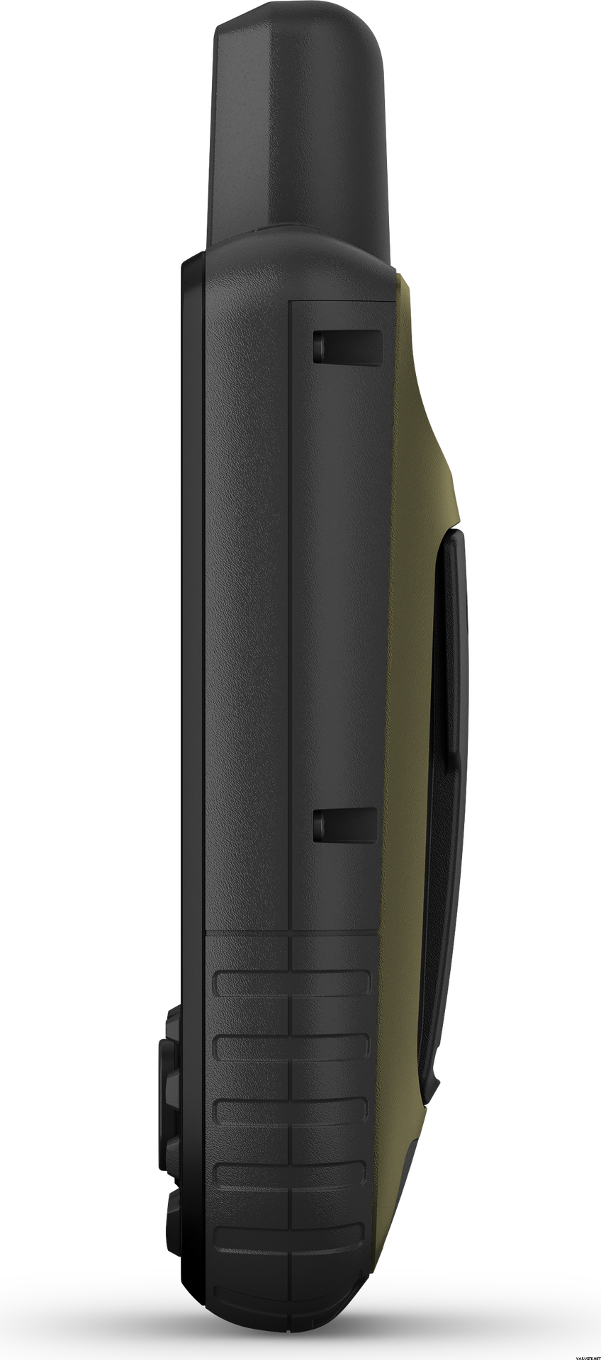
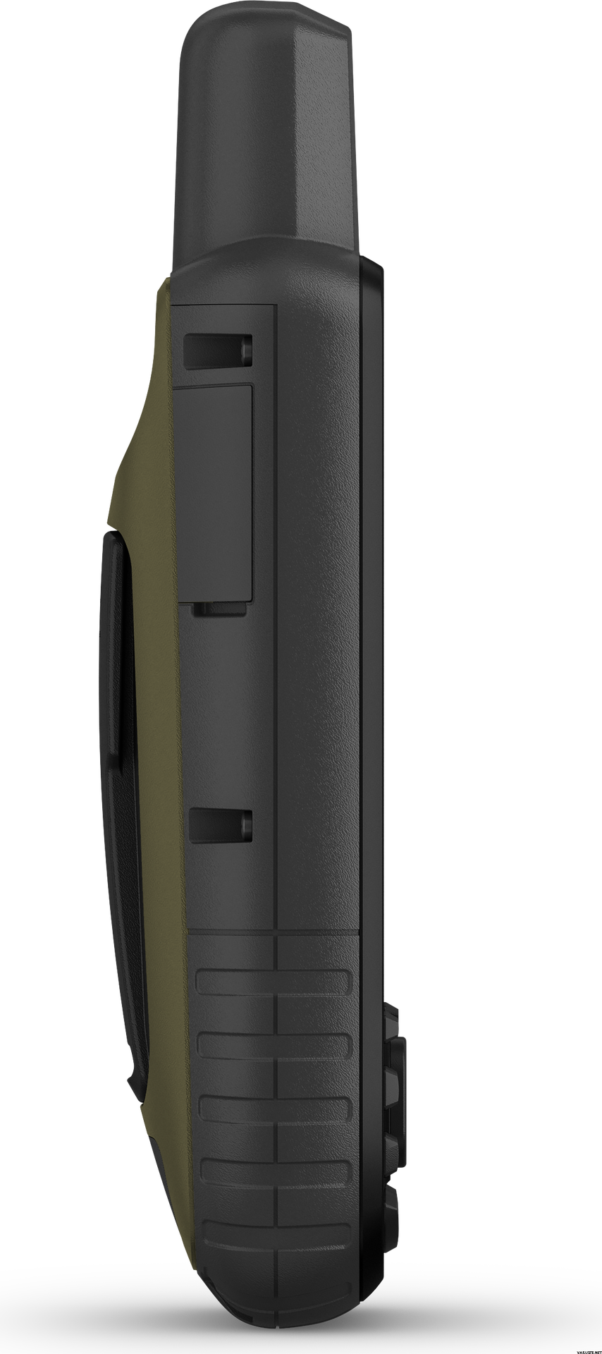
This handheld is built to military standards for thermal, shock and water performance (MIL-STD-810), and it’s even compatible with night vision goggles. The GPSMAP 66 series helps you keep gear to a minimum with a built-in LED flashlight that can be used as a beacon to signal for help.
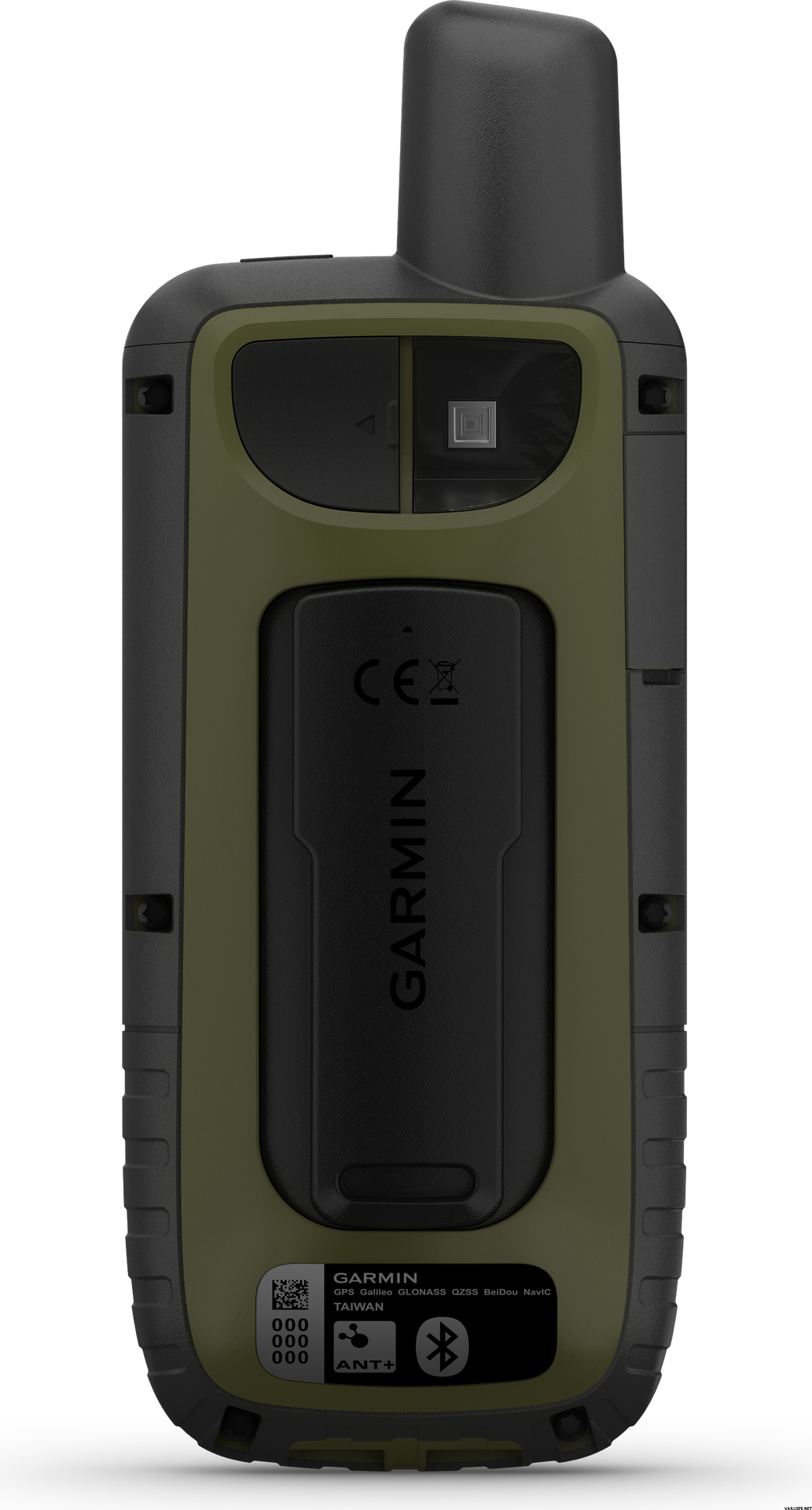
Get automatic cache updates from Geocaching Live, including descriptions, logs and hints. When connected via Wi-Fi® technology or to the Garmin Connect™ app, each find will upload to your Geocaching.com profile. Plan, review and sync waypoints, routes and tracks by using the Garmin Explore™ app2 and website. You can even review completed activities while still in the field. Internal lithium-ion rechargeable battery provides up to 36 hours of battery life in GPS mode and up to 3 weeks in Expedition mode.
What's in the box:
- GPSMAP 66sr
- USB cable
- Carabiner clip
- Documentation
General
| Physical dimensions | 6,2 x 16,3 x 3,5 cm |
|---|---|
| Display size | 3.8 x 6.3 cm; 3-inch diagonal (7.6 cm) |
| Display resolution | 240 x 400 pixels |
| Display type | Transflective, colour TFT |
| Weight | 230 g with batteries |
| Battery type | Rechargeable, internal lithium-ion |
| Battery life | Up to 36 hours, up to 450 hours in expedition mode |
| Water rating | IPX7 |
| MIL-STD-810 | yes (thermal, shock, water) |
| High-sensitivity receiver | yes |
| Interface | High-speed micro USB and NMEA 0183 compatible |
| Memory/history | 16 GB (user space varies based on included mapping) |
Maps & memory
| Preloaded maps | Yes (TopoActive Europe; routable) |
|---|---|
| Map segments | 15 000 |
| Birdseye | Yes (direct to device) |
| Storage and power capacity | Yes (32 GB max microSD™ card) |
| Waypoints/favourites/locations | 10 000 |
| Tracks | 250 |
| Track log | 20,000 points, 250 saved gpx tracks, 300 saved fit activities |
| Routes | 200, 250 pistettä reitillä, 50 pisteen automaattinen reititys |
- Basemap
- Ability to add maps
- Automatic routing (turn by turn routing on roads)
- Includes detailed hydrographic features (coastlines, lake/river shorelines, wetlands and perennial and seasonal streams)
- Includes searchable points of interests (parks, campgrounds, scenic lookouts and picnic sites)
- Displays national, state and local parks, forests, and wilderness areas
| Sensors | Daily smart features |
|---|---|
|
|
- LIVETRACK
- Point-to-point navigation
- Area calculation
- Compatible with Basecamp™
- Hunt/fish calendar
- Sun and moon information
- Xero™ locations
- Geocaching-friendly
- Custom maps compatible: yes (500 custom map tiles)
- Picture viewer
- Inreach Remote widget
- LED beacon flashlight
- Compatible with Garmin Explore™ app
- Wireless connectivity: Bluetooth®, ANT+®
Altimètre barométrique
Oui
Autonomie de la batterie/pile au plus (h)
36
Communication satellite
Non
Convenance pour géocaching
Oui
Résolution de l'écran
240 x 400
Taille de l'écran (pouces)
3,0
Poids
0,23 kg
(avec l'emballage de vente 0,35 kg)
Garantie
24 mois
Pays de fabrication
Commentaires
| Note globale | ☆☆☆☆☆ |
 — Montrer l'original
| Note globale |
La qualité de la puce GPS multibande ne fait aucun doute. J'ai contacté Garmin à propos de la fonctionnalité WAAS/EGNOS annoncée dans le manuel d'utilisation, ils ont répondu : "Après quelques recherches, nous avons constaté que le 66sr n'utilise pas WAAS/EGNOS. Cela est dû à la technologie multibande. Nous allons suggérez qu'ils ajoutent une note dans le manuel. Nous nous excusons pour tout inconvénient que cela a causé."
Je possède également le Garmin GPSMAP 64sc depuis des années et j'ai trouvé très peu d'améliorations ces dernières années. L'écran du 66sr est meilleur, les boutons sont meilleurs, mais le logiciel embarqué est encore assez lent, l'UI/UX ne s'est pas amélioré. De plus, il y a une "fonctionnalité" qui est un "bug" pour moi : le casier à basse température. Le 66sr s'éteint en dessous de -20degC même si la batterie au lithium peut techniquement fonctionner sous -20degC. Quand je skiais à -26degC, mon 66sr était "mort" mais mon vieux 64sc avec sa batterie NiMH fonctionnait bien.Marque

 évaluations
