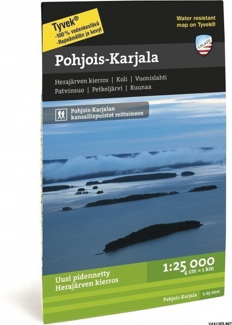
Calazo Pohjois-Karjala 1:25 000, 2021
Immediately
Detailed availability
Location Store (Helsinki): Trekking, Zone 11, warehouse
Reviews
| Overall rating | (20 reviews) |
Product description
Scale: 1:25,000
ISBN: 978-91-86773-50-2
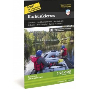
The revamped Herajärvi tour is 60 kilometers along the dangers of Karelia and the banks of Pielinen in the national landscape of Koli. The reverse side of the waterproof map includes Patvinsuo and Petkeljärvi national parks and the Ruunaa camping area.
Our maps cover the most popular hiking areas in our country, from Nuuksio to Kilpisjärvi. The ground material is supplied by the Land Survey and Metsähallitus. The maps have been updated with routes, huts and other camping services, as well as the region's tourism services.
One map can fit a huge area, because we print on both sides of the maps. Thanks to the clever division of the pages, you usually only need one map on your hike, which also has many day trip destinations.
We depict the steep slopes of fells and large hills with slope shading, which makes it easier to read the map.
The scale is 1:25,000 and 1:50,000, so they hold a lot of information.
The maps are made of water-resistant and tear-resistant Tyvek material, which is lighter than paper. You can stuff the map in your pocket and you don't have to protect it from the rain.
Waterproof
Yes
Weight
0,08 kg(The product may have a light retail packaging.)
Comments
| Overall rating | ☆☆☆☆☆ |
 — Show original
Brand
Products that have often been purchased with this product
 reviews
