
Garmin
195 products


| Overall rating | (70 reviews) |
Rugged, Full-featured Handheld with GPS, GLONASS and Wireless Connectivity
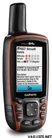
2.6" sunlight-readable color screen
High-sensitivity GPS and GLONASS receiver with quad helix antenna
1-year BirdsEye Satellite Imagery subscription
3-axis compass with barometric altimeter
Wireless connectivity via Bluetooth® technology¹ or ANT+™
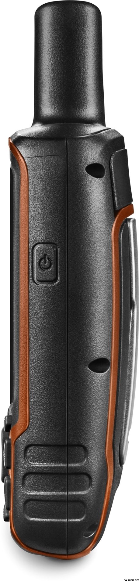
GPSMAP 64s
GPSMAP 64s features a 2.6” sunlight-readable color screen and a high-sensitivity GPS and GLONASS receiver with a quad helix antenna for superior reception. GPSMAP 64s includes a 3-axis electronic compass with barometric altimeter, wireless connectivity and a 1-year BirdsEye Satellite Imagery subscription.
Get Your Bearings
GPSMAP 64s has a built-in 3-axis tilt-compensated electronic compass, which shows your heading even when you’re standing still, without holding it level. Its barometric altimeter tracks changes in pressure to pinpoint your precise altitude, and you can even use it to plot barometric pressure over time, which can help you keep an eye on changing weather conditions.
Share Wirelessly
Share your waypoints, tracks, routes and geocaches wirelessly with other compatible devices. Your friends can enjoy your favorite hike or cache without waiting for you to plug in to your computer — simply press “send” to transfer your information to another Garmin handheld.
GPSMAP 64st also connects to compatible Garmin devices, including VIRB™ and accessory sensors, including tempe™, foot pod and heart rate monitor.
Stay Connected
With Smart Notification you can wirelessly receive email, texts and alerts from your compatible iPhone® 4s or later. Stay connected without having to dig into your backpack for your smartphone.
Explore the Terrain
GPSMAP 64s comes with a built-in worldwide basemap with shaded relief plus a 1-year BirdsEye Satellite Imagery subscription, so you can navigate anywhere with ease. With photo navigation, you can download geotagged pictures from the Internet and navigate to them.
Keep Your Fix
With its quad helix antenna and high-sensitivity, GPS and GLONASS, receiver, GPSMAP 64s locates your position quickly and precisely and maintains its location even in heavy cover and deep canyons. The advantage is clear — whether you’re in deep woods or just near tall buildings and trees, you can count on GPSMAP 64s to help you find your way when you need it the most.
Add Maps
GPSMAP 64s comes with a built-in worldwide basemap with shaded relief and a 1-year subscription of BirdsEye Satellite Imagery for a photo-realistic view. Adding more maps is easy with our array of detailed topographic, marine and road maps. With 4 GB of onboard memory and microSD™ card slot, you can conveniently download TOPO 24K and 100K maps and hit the trail, plug in BlueChart® g2 preloaded cards for a great day on the water or City Navigator NT® map data for turn-by-turn routing on roads (see maps tab for compatibility). In addition, the 64s is compatible with Garmin Custom Maps, a map format that allows you to transform paper and electronic maps easily into downloadable maps for your device, for free.
Find Fun
GPSMAP 64s supports paperless geocaching with 250,000 preloaded caches with hints and descriptions from Geocaching.com, and has a 16-hour battery life. By going paperless, you're not only helping the environment, but also improving efficiency. GPSMAP 64s stores and displays key information, including location, terrain, difficulty, hints and descriptions, which means there’s no more manually entering coordinates and paper printouts! Slim and lightweight, 64s is the perfect companion for all your outdoor pursuits.
Plan Your Next Trip
Take charge of your next adventure with BaseCamp™, software that lets you view and organize maps, waypoints, routes and tracks. This free trip-planning software even allows you to create Garmin Adventures that you can share with friends, family or fellow explorers. BaseCamp displays topographic map data in 2-D or 3-D on your computer screen, including contour lines and elevation profiles. It also can transfer an unlimited amount of satellite images to your device when paired with a BirdsEye Satellite Imagery subscription.
 Taiwan
| Overall rating | ☆☆☆☆☆ |
 — Show original
 — Show original
For the first gps device, it has been difficult to find in the manual exactly the instructions that a beginner needs. The package completely lacks instructions in Finnish, and finding them online requires internet connection and the skills that fewer berries over the age of 70 have without the help of younger people. That is, the forest needs an assistant to use the device.| Overall rating |
— Show originalThis came as a gift to the sister for rescue dog duties. It's reportedly been good. Vehje was also involved in our joint Hammastunturi hike and it was found there that it works everywhere. Only once was it noticed at a crossroads that it looked like the location was about 100 meters wrong, but otherwise it always seemed to look exactly right. — Show originalRelatively easy to use, charges quickly, sometimes strange mileage appears on the trip computer, even if only a few hundred meters traveled| Overall rating |
— Show originalGood and basic safe device.
I bought a watercraft as a navigation device, so I had to invest another +150 euros in compatible water maps and a stand.
Works as it should and the signal is not unnecessarily interrupted. Waterproof.
Can be used with AA batteries or NiMH batteries and lasts quite lightly all day with a single charge, even when the screen brightness is full.
Good value for money.| Overall rating |
— Show originalThe instructions for use should also have been in Finnish. Versatile, reliable. — Show originalPretty good package, though not very much use at this point yet| Overall rating |
— Show originalFor outdoor use, the only device with batteries that last all day. It can be worn even with gloves on. The screen update on the included map is slow. The menu system was better in previous models.| Overall rating |
— Show originalIt has worked well, but I haven’t had very much terrain yet.| Overall rating |
— Show originalConvenient accurate plaster for geocaching. Works in summer and winter frosts because the device has key buttons.
In vain there are those pre-loaded tradits, they when you delete their unnecessary folders, and download gpx files as well as terrain maps so great game.
