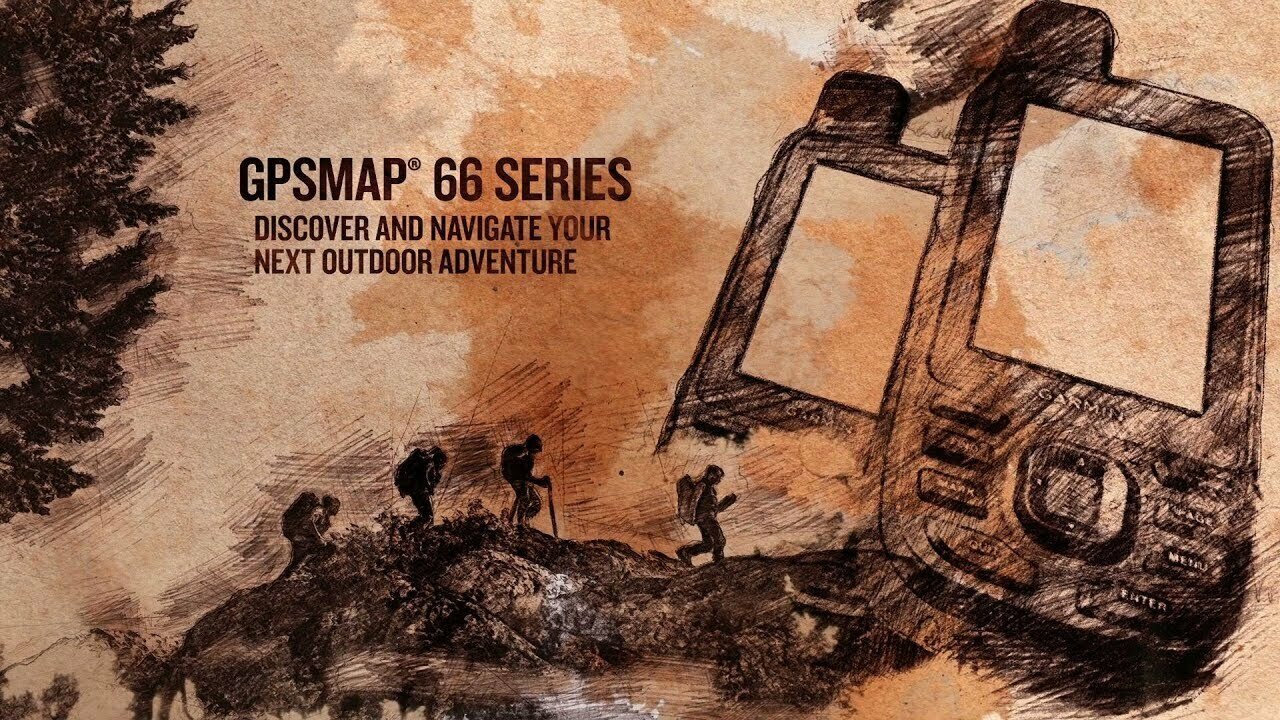
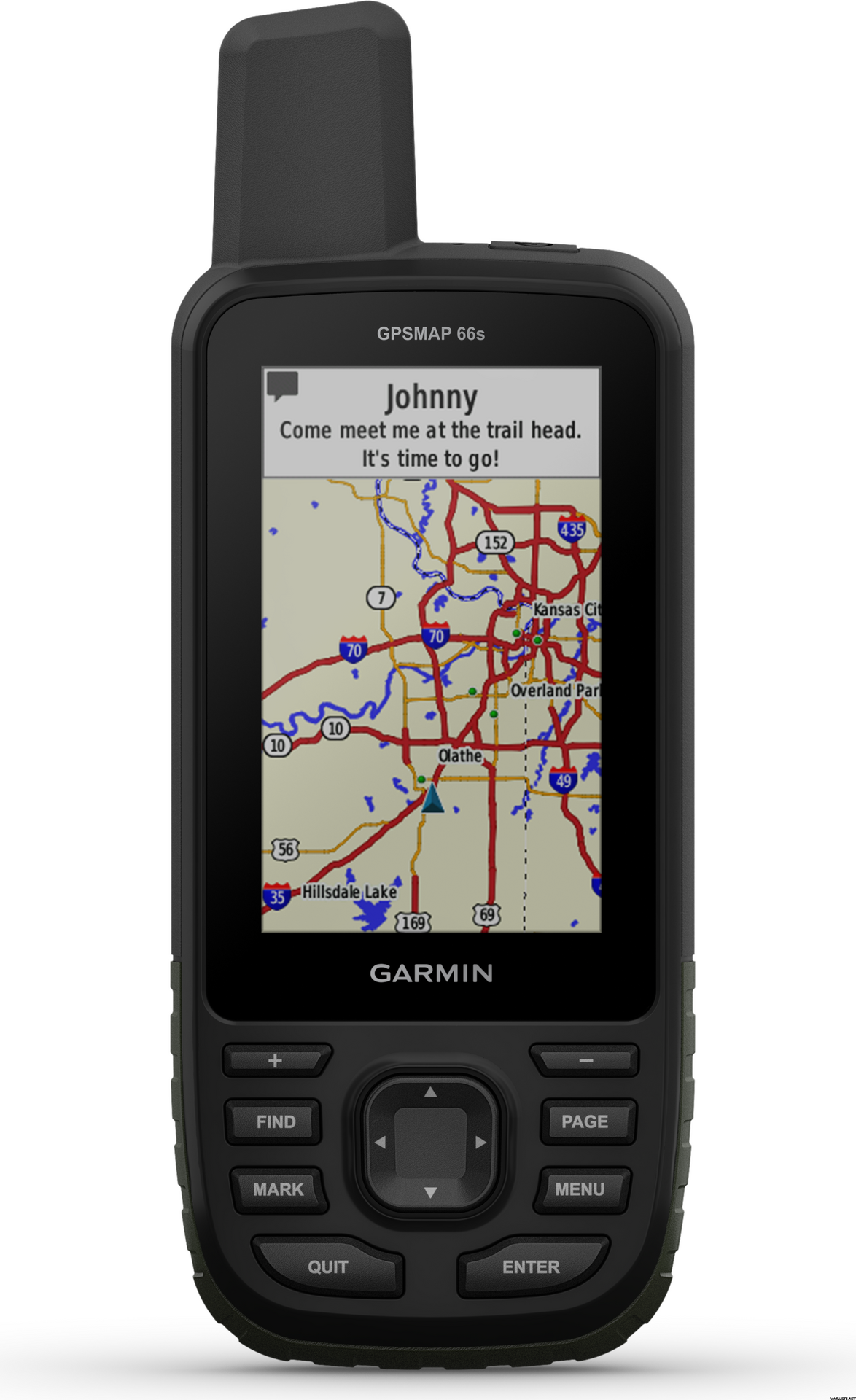
Premium GPS handheld with BirdsEye satellite imagery subscription
- Large, 3" sunlight-readable colour display for easy viewing
- Multiple Global Navigation Satellite Systems (GNSS) support to track your travels in more challenging environments than GPS alone, plus three-axis compass and barometric altimeter
- Access to BirdsEye satellite imagery with direct-to-device downloads and no annual subscription
- Expanded wireless connectivity supports Active Weather for up-to-date forecasts and animated weather radar, and Geocaching Live for mobile syncing and updates
- Compatible with Garmin Explore™ website and app to help you manage tracks, routes and waypoints, and review statistics from the field
- LED flashlight function plus up to 16 hours of battery life in GPS mode and 1 week in expedition mode for fewer charges
Navigate your next outdoor adventure with the GPSMAP 66 series. Whether you're hiking, mountain biking, climbing, geocaching, kayaking or working in outdoor environments, you can explore more with this iconic rugged handheld with a 3" colour display. It offers a new quality of positioning with Quad-Helix antenna performance and multi-satellite support as well as wireless connectivity for Active Weather, direct downloads and Garmin Explore compatibility.
GET YOUR BEARINGS
In addition to multi-GNSS support, the GPSMAP 66 series provides ABC (altimeter, barometer and compass) sensor capabilities to track your journey. The built-in altimeter provides elevation data to accurately monitor ascent and descent, while the barometer can be used to predict weather changes by showing short-term trends in air pressure. The three-axis electronic compass keeps your bearing whether you're moving or not.
SEE WHERE YOU'RE HEADED
Get a better picture of your location with high-resolution photo-realistic views of your route, thanks to direct-to-device downloads of BirdsEye satellite imagery — without an annual subscription. You'll see a true representation of your surroundings to find trails, trailheads and clearings for campsites, to find parks and parking for geocaching, and even to create waypoints based on landmarks.
STAY TUNED TO CONDITIONS
You’ll always stay informed of weather conditions when you pair your GPSMAP 66 series device via Bluetooth®to a compatible smartphone. Receive Active Weather updates for real-time forecast information, including predictive maps for temperature, wind, precipitation and clouds. It also provides live weather radar so you’re aware of inclement weather that can affect your outdoor adventures.
FIND YOUR CACHE
GPSMAP 66s and GPSMAP 66st devices make it easier than ever to enjoy your geocaching experience. Set it to automatically update with all the latest caches from Geocaching Live, including cache descriptions, logs and hints. With a Wi-Fi®connection or through Garmin Connect™ on a compatible smartphone, you'll avoid manually entering coordinates or printing out cache details on paper — and each find will automatically upload to your Geocaching.com profile.
EXPLORE WITH GARMIN
Even when you're offline and have no mobile connection, the GPSMAP 66 series pairs with the Garmin Explore mobile app to let you plan, review and sync data, including waypoints, routes and tracks. Plus, you can review completed activities while still in the field, even when you're off the grid. Once you're home again, plan for future trips and review previous activities from the Garmin Explore website.
UTILITY IN ADVERSE ENVIROMENTS
Be prepared for the most extreme adventures. The GPSMAP 66 series offers up to 16 hours of battery life in GPS standard mode and 1 week in expedition mode (with two AA batteries) for fewer charges. It provides an LED flashlight and SOS beacon that can be used to signal for help. It's built to military standards for thermal, shock and water performance (MIL-STD-810G), and it's even compatible with night vision goggles.
GENERAL
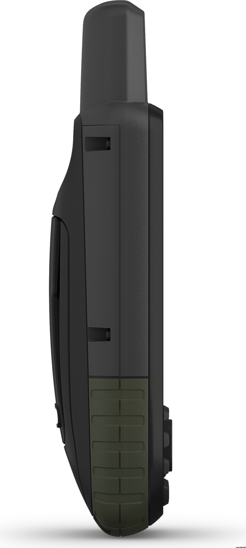
Physical dimensions: 6.2 x 16.3 x 3.5 cm
Weight: 230g with batteries
Water rating: IPX7
Battery: 2 AA batteries (not included); NiMH or Lithium recommended
Display type: Transflective colour TFT
Display size: 3.8 x 6.3 cm; 3" diagonal
Display resolution: 240 x 400 pixels
Memory/history: 16 GB
High-sensitivity receiver: Yes
Interface: High-speed USB and NMEA 0183 compatible
MAPS AND MEMORY
Ability to add maps: Yes
Basemap: Yes
Storage and power capacity: microSD™ card (included)
Waypoints/favourites/locations: 10,000
Routes: 250
Track log: 20,000 points, 250 saved gpx tracks, 300 saved fit activities
Preloaded maps: Basemap only
SENSORS
Barometric altimeter: Yes
Compass: Yes (tilt-compensated 3-axis)
OUTDOOR RECREATION FEATURES
Area calculation: Yes
Automatic routing (turn by turn routing on roads): Yes (with optional mapping for detailed roads)
Geocaching-friendly: Yes (Paperless)
Custom maps compatible: Yes
Hunt/fish calendar: Yes
Sun and moon information: Yes
Camera: No
Picture viewer: Yes
Garmin Connect™ compatible (online community where you analyse, categorise and share data): Yes
ADDITIONAL
Garmin Explore compatible: Yes
Garmin Connect IQ compatible: Yes
Wireless compatible: Yes (Wi-Fi, Bluetooth and ANT+)
Map segments: 15,000
Active weather: Yes
Smart Notifications: Yes
Live Tracking: Yes (with) Garmin Connect™Mobile
BirdsEye direct to device: Yes (no annual subscription required)
MIL STD 810G ruggedness for thermal, shock and water performance
IN THE BOX
- GPSMAP 66s
- Access to Birdseye satellite imagery
- USB cable
- Carabiner clip
- Documentation





 Тайвань
 — Показати оригінал