Športy‪» Outdoorové aktivity‪» Elektronika‪» GPS prístroje‪» Hiking GPS‪»

Garmin GPSMAP 66i and TopoActive Europe

Garmin GPSMAP 66i and TopoActive Europe

Garmin GPSMAP 66i and TopoActive Europe

Kampaňová cena
580,07 + poštovné
Ponuka končí o
Normálna cena 649,00 €
Vrátane DPH 25.5 %


Množstvo
ks


Predajňa (Helsinki)dostupné na predajni0 ks
Okamžite dostupné v internetovom obchode0 ks

Kód objednávky
010-02088-02
Čiarový kód
753759218744

Pozrite tiež
Mapy
National Land Survey Of Finland: Electronic Map of Finland in microSD
+25,00 €


Maximálne množstvo produktu, ktoré je možné objednať, odpovedá množstvu, ktoré je na sklade. Nie je možné vložiť do košíka viac produktov, ako je dostupných na sklade.
Dostupnosť
Približne 3 - 15 deň/dní od objednávky. Spoľahlivosť odhadu je celkom dobrá.

Skladová dostupnosť
Chcem dostať upozornenie, keď bude tento produkt znovu dostupný.


Hodnotenia
Celkové hodnotenie ()


Popis produktu
Rugged GPS handheld and inReach satellite communicator with Garmin TopoActive Europe mapping.
  • Large 3" sunlight-readable colour display for easy viewing
  • Trigger an interactive SOS to the GEOS 24/7 search and rescue monitoring center; two-way messaging via the 100% global Iridium® satellite network (satellite subscription required)
  • Preloaded Garmin TopoActive Europe mapping with direct-to-device BirdsEye Satellite Imagery downloads (no annual subscription); includes multiple Global Navigation Satellite Systems (GNSS) support and navigation sensors
  • Cellular connectivity lets you access Active Weather forecasts and Geocaching Live
  • Compatible with the Garmin Explore™ website and app to help you manage waypoints, routes, activities and collections, use tracks and review trip data from the field
  • Internal, rechargeable lithium battery provides up to 35 hours of battery life in 10-minute tracking mode; 200 hours in Expedition mode with 30-minute tracking intervals
The sturdy, button-operated GPSMAP 66i features a large 3" colour display you can see even in bright sunlight. If you're out in the field for long stretches of time, you can turn on Expedition mode and get up to 200 hours of battery life while using inReach technology. In the default tracking mode, you get up to 35 hours of battery life, and your device will save your location every 10 minutes.

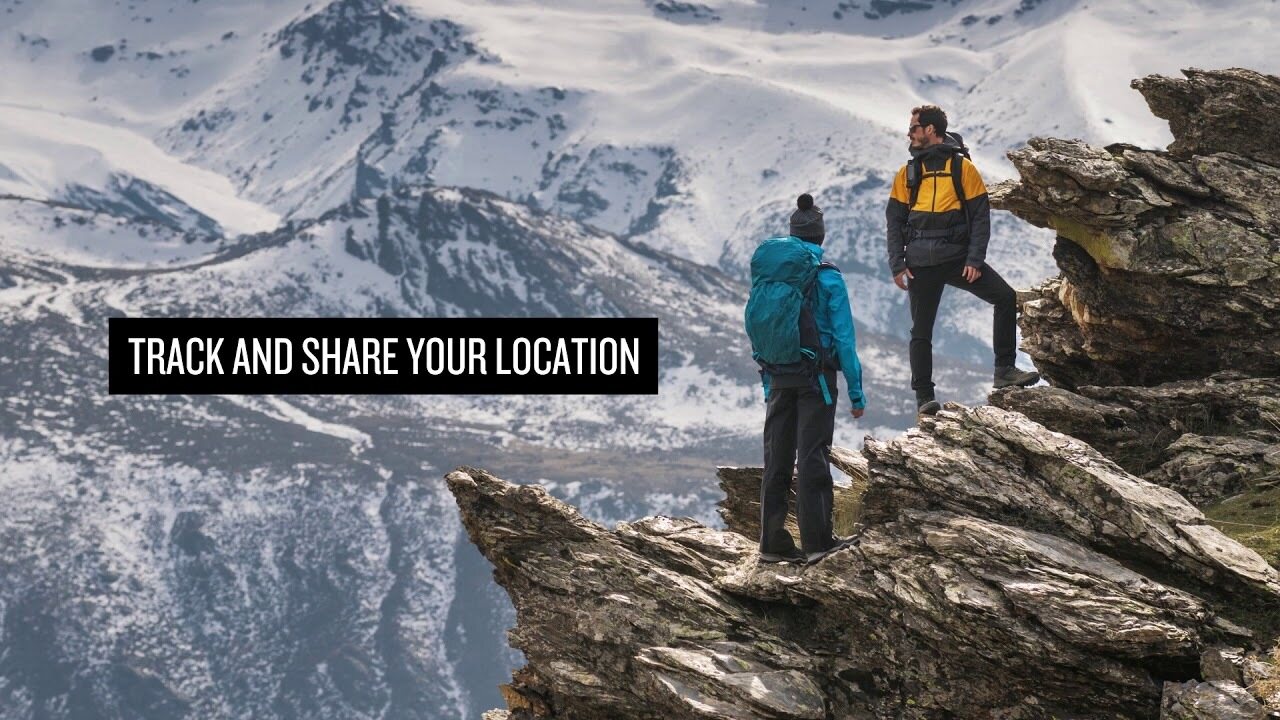
Staying in touch is vital, even on less challenging trips. Using inReach technology (subscription required), this handheld lets you trigger an SOS to the GEOS 24/7 emergency response team for interactive support in an emergency. It also enables two-way messaging and LiveTrack location sharing via the 100% global Iridium satellite network, so you can stay in contact with loved ones, teammates, headquarters and more.

GPSMAP 66i is fitted with the best in Garmin navigation. Preloaded Garmin TopoActive Europe mapping provides detailed views of topographic elevations, summits, parks, coastlines, rivers, lakes and geographical points. Direct-to-device downloads of BirdsEye Satellite Imagery provide high-resolution photo-realistic views of your route, trailheads, clearings and more — without an annual subscription. Support for multi-GNSS combined with altimeter, barometer and compass navigation sensors lets you track and navigate in challenging environments.

Wireless cellular connectivity lets you access Active Weather for up-to-date forecasts, including predictive maps for temperature, wind, precipitation and clouds — right on the handheld when connected to Garmin Connect Mobile.

The free Garmin Explore mobile app lets you plan, review and sync data, including waypoints, routes, activities and collections. Review completed activities while still in the field, even when you're off the grid. The app also lets you sync your GPSMAP 66i with your compatible mobile device so you can access unlimited maps, aerial imagery and U.S. NOAA charts. You can even use all of the inReach features on your paired mobile device. For easier messaging, you can access your phone's contact list from the Garmin Explore app to connect with fewer keystrokes. Plan for future trips and review previous activities from the Garmin Explore website.

Physical dimensions 6.6 x 16.3 x 3.5 cm
Display size 3.8 x 6.3 cm; 3" diag (7.6 cm)
Display resolution 240 x 400 pixels
Display type Transflective colour TFT
Weight 241 g
Battery Rechargeable lithium-ion
Battery life Up to 35 hours at 10-minute tracking; up to 200 hours at 30-minute tracking (power save mode)
Water rating IPX7
Memory/history 16GB
High-sensitivity receiver
Interface High-speed USB and NMEA 0183 compatible

Maps & memory

Preloaded maps Yes (topographic)
Ability to add maps
Basemap
Storage and power capacity microSD™ card (not included)
Waypoints/favourites/locations 10,000
Routes 250
Track log 20,000 points, 250 saved gpx tracks, 300 saved fit archives

Sensors

Barometric altimeter
Compass Yes (tilt-compensated 3-axis)

In the box:
  • GPSMAP 66i
  • Access to Birdseye Satellite Imagery
  • Charging/data cable
  • Carabiner clip
  • Documentation

Približná veľkosť zabaleného produktu alebo predajného obalu je 60 x 180 x 160 mm.


Barometrický výškomer
Áno


Battery life max (h)
200


IP Classification
IPX7


Rozlíšenie obrazovky
240 x 400


Satellite communication
Áno


Screen size (inches)
3,0


Suitable for geocaching
Áno


Hmotnosť
0,48 kg


Záruka
24 mes.


Krajina výroby
Taiwan


Komentáre
juk...@...om verified buyer, 19.12.2022
Celkové hodnotenie
Preložené GoogleZobraziť pôvodný text
Päť hviezdičiek pre navigátora. V balení je vynechaná jedna z terénnych máp Fínska, ktorá pre mňa nemá žiadnu hodnotu, pretože nefunguje trasovanie.

Anonym verified buyer, 9.8.2022
Celkové hodnotenie
Preložené GoogleZobraziť pôvodný text
Používanie vyžaduje trochu cviku, pretože funkcií je veľa. V úspornom režime batéria vydrží naozaj dobre. Garmin kvalita Garmin.
sam...@...om verified buyer, 23.7.2021
Celkové hodnotenie
Preložené GoogleZobraziť pôvodný text
Robustná, spoľahlivá a „klávesnica“ k dispozícii s rukavicami v ruke. Len to, čo som našiel. Prvýkrát už odkvapkaný a odgrgnutý bez poškodenia.
pekka U. verified buyer, 12.4.2021
Celkové hodnotenie
Preložené GoogleZobraziť pôvodný text
Používanie je stále v začiatkoch a po GPSMAP64s existuje veľa rozdielov vo funkčnosti, ktoré je potrebné preskúmať a nájsť nové operačné modely. Zachytiť správu o počasí uprostred divočiny bola naozaj dobrá vlastnosť.
Anonym verified buyer, 29.3.2021
Celkové hodnotenie
Preložené GoogleZobraziť pôvodný text
Zaručená kvalita Garmin. Dobré prehľadné mapy, dobrá obrazovka a veľmi jednoduché použitie. Satelitné pripojenie funguje všade a polohu je možné ľahko zdieľať. Výdrž batérie príliš krátka. Zariadenie by sa malo nabíjať každý deň a nabíjací otvor je v zadnom kryte, takže nabíjanie vo vrecku tiež nie je ľahké. Na dlhé túry by bol model Explorer tou správnou voľbou.
jan w. verified buyer, 10.3.2021
Celkové hodnotenie
Preložené GoogleZobraziť pôvodný text
Dobré zariadenie, základné funkcie fungujú. Pri trasách vytvorených vlastnými silami dávajte pozor, aby ste nenútili kompas, aby sa objavoval na trasovom bode, ktorý už prešiel z diaľky, ale na ďalší. Už sa nemusíte pripájať k telefónu. Zo zariadenia nemožno odstrániť žiadne správy na dosah a kontakty sa nedajú aktualizovať.
Teemu K. verified buyer, 11.7.2020
Celkové hodnotenie
Preložené GoogleZobraziť pôvodný text
Toto je model, ktorý sa už môže používať vo Fínsku a Európe. Príjemné na miestach, kde nefunguje mobilný telefón, a zaisťuje, že domov dostane informácie o ubytovaní a pohode. Mnoho funkcií a vybitie batérie možno pozorovať, že to stačí na bezpečné miesto.
Pasi P. verified buyer, 11.6.2020
Celkové hodnotenie
Preložené GoogleZobraziť pôvodný text
Toto je úplne dokonalé zariadenie pre pešiu turistiku v divočine. Robí to, čo sľúbi. Bolo fajn dať si správu domov a tiež dostávať správy zvonku celulárnych sietí. Na konci týždenného výletu zostávalo v batérii ešte 30 - 40%, aj keď bolo počas celej cesty monitorovanie zapnuté.
Lasse L. verified buyer, 7.1.2020
Celkové hodnotenie
Preložené GoogleZobraziť pôvodný text
Používa sa iba niekoľko týždňov. Robustne vyzerajúce zariadenie, ktoré splnilo očakávania. Používanie telefónu a počítača v rôznych funkciách je ešte stále vo fáze učenia a testovania. Tieto kvalitnejšie prevádzkové pokyny by boli užitočné.
Jani H. verified buyer, 4.1.2020
Celkové hodnotenie
Preložené GoogleZobraziť pôvodný text
Veľmi dobrá hra. Vynikajúce vlastnosti.
Ukázať všetky (12) Pridať komentár

Značka


GPSMAP 66i: Premium GPS Handheld and Satellite Communicator

Produkty, ktoré sú často zakúpené spoločne s týmto produktom:


Blog

Hanki esiladattu kartta-aineisto mukaan muistikorttipaikkaisiin Garmin-laitteisiin

Myymme muistikorttipaikkaisiin Garmin GPS-laitteisiin microSD-korttia, johon on esiladattu Maanmittauslaitoksen kartta-aineiston pohjalta laadittu maastokartta (Tekijä on Teemu Peltonen. Lisensoitu Creative Commons Nimeä-Ei muutoksia-Epäkaupallinen 4.0 Muokkaamaton -lisenssillä.)...


Benefits and Uses of Garmin inReach Devices

Garmin inReach devices provide safety and connect you with your loved ones, no matter what adventure you embark on The best adventures are often experienced far from civilization. Whether climbing mountain slopes, hiking deep in the forest, or paddling on the sea, you can enjoy t...