Garmin BlueChart® g3 HXEU065R - Baltic Sea, East Coast (MicroSD™/SD™-card)
Ten produkt nie jest obecnie w sprzedaży.
Dostępność w magazynach
Oceny
| Ogólna ocena | (1 ocena) |
Opis produktu
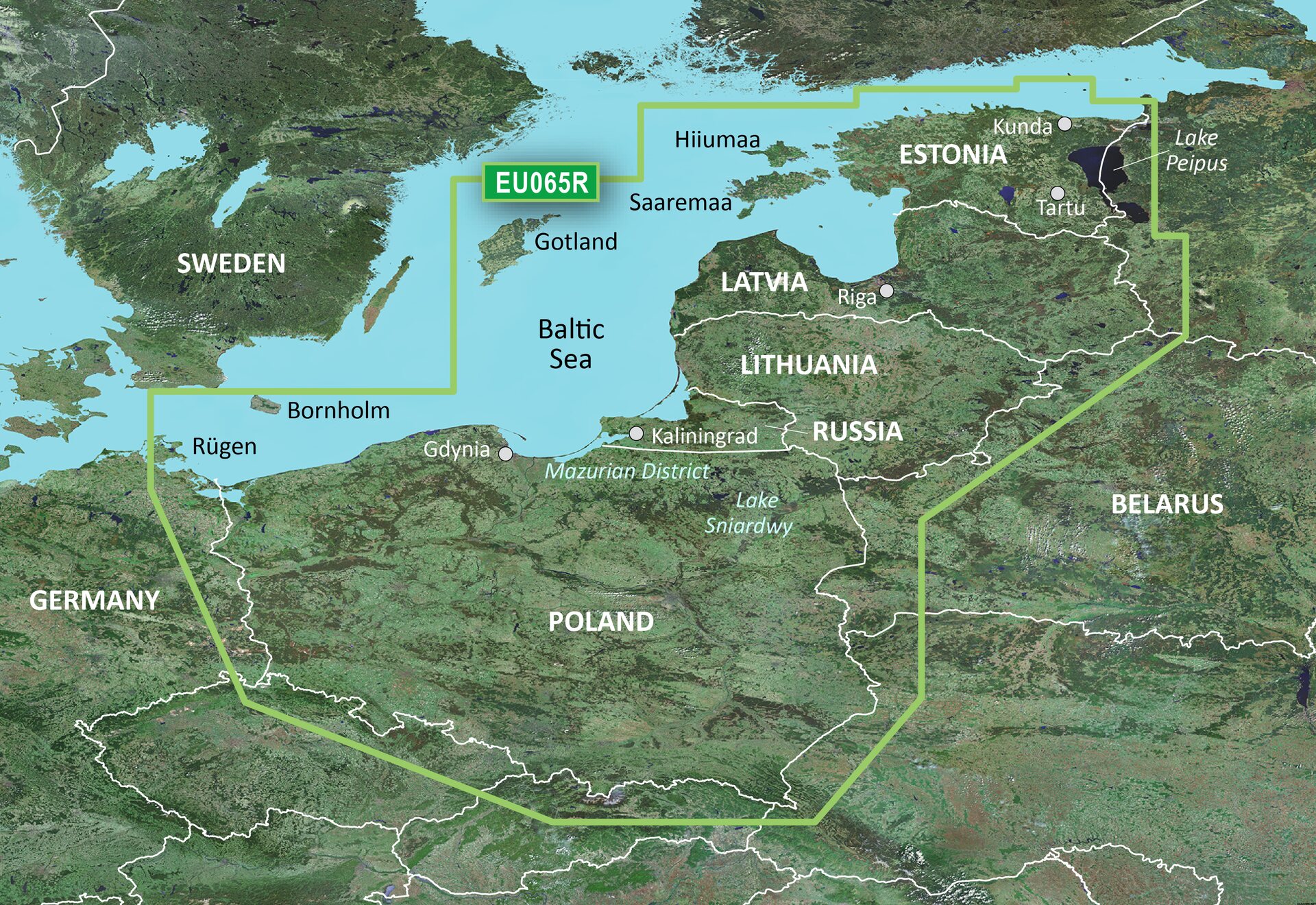
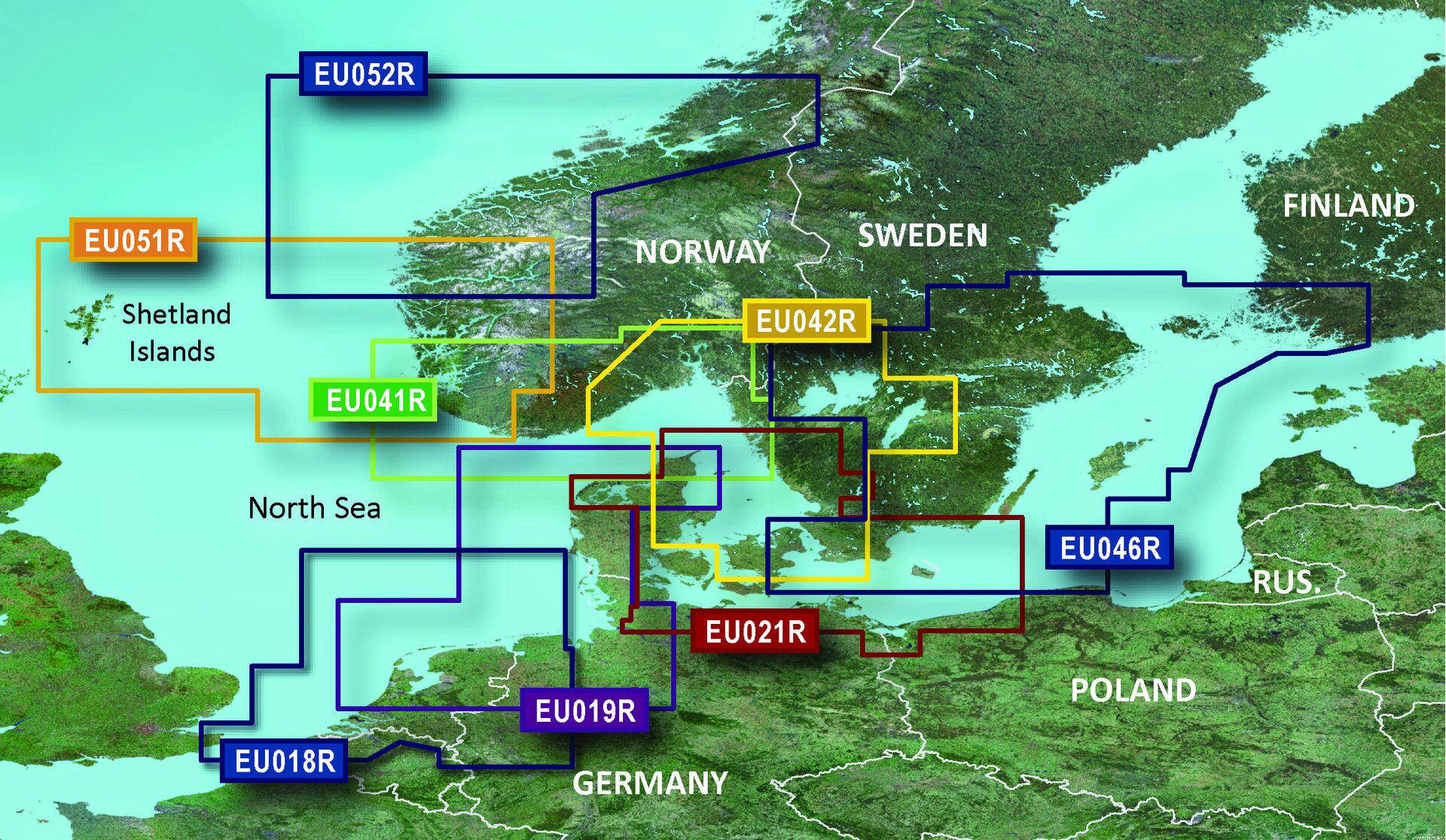
Coverage of the Baltic Sea coasts of Poland, Russia, Lithuania, Latvia and Estonia from Rügen, from the German border to Narva-Jõesuu, EE and the lakes and rivers of Poland, Belarus and the Baltic States. Coverage includes the entire Gulf of Riga, the Szczecin, Vistula and Kurshskiy Lagoons, the ports of Tallinn, Riga, Gydnia, Gdansk and Kaliningrad, the islands of Bornholm, Gotland, Saaremaa, Hiiumaa, the Oder, Vistula, Bug, Neman, Emajõgi and Daugava Rivers, Lakes Peipus, Pihkva and Vörtsjäve, the Masurian District Lakes including Lake Jeziorak, Lake Łańskie and Lake Śniardwy and Lakes Snudy/Strusto, Miastra, Batorino, Lukomshoye and Selyava in Belarus.
Advanced Chart Offering
- Derived from official charts and private sources to provide navigational aids, spot soundings, depth contours, tides and currents, and detailed harbors and marinas
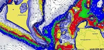
- Depth Range Shading for up to 10 depth ranges enables you to view your target depth at a glance
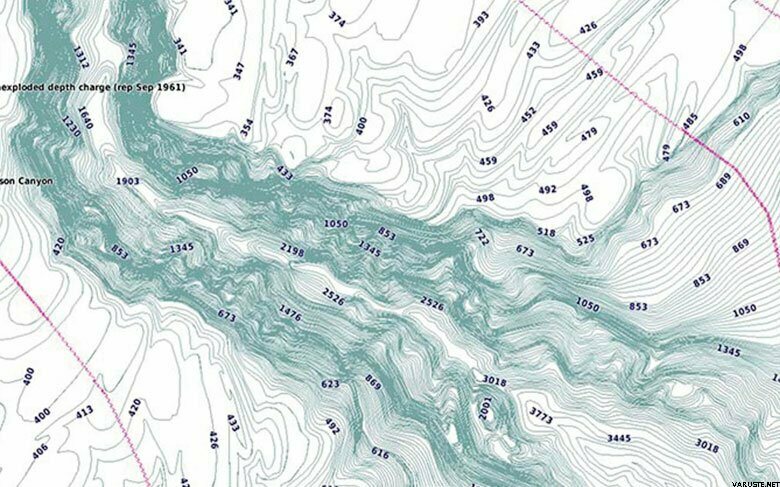
- Up to 1-foot contours provide a more accurate depiction of the bottom structure for improved fishing charts and navigation in swamps, canals and marinas
- Shallow Water Shading feature allows for depth shading at a user-defined level to aid in navigation
- Worldwide coverage available
Advanced Chart Detail
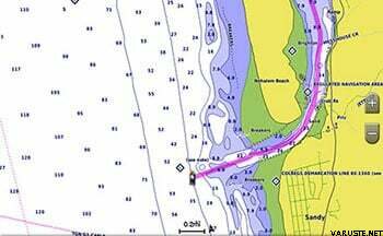
Detailed charts help the mariner guide their boat in and out of port with confidence.
Depth Range Shading
Displays high-resolution Depth Range Shading for up to 10 depth ranges so you can view your designated target depth.
Detailed Contours
BlueChart g2 HD features 1-foot contours that provide a more accurate depiction of bottom structure for improved fishing charts and enhanced detail in swamps, canals and port plans.
Waga
0,02 kg
Gwarancja
24 mies.
Kraj produkcji
Komentarze
| Ogólna ocena | ☆☆☆☆☆ |
 — Pokaż tekst oryginalny
Marka
 oceny
oceny
