Arter‪» Friluftsliv‪» Electronikk‪» GPS-enheter‪» Camping GPS‪»

Garmin GPSMAP 66i and TopoActive Europe

Garmin GPSMAP 66i and TopoActive Europe

Garmin GPSMAP 66i and TopoActive Europe

Kampanje pris
580,07 + Veveranse kostnader
Tilbudet avslutter
Vår normal pris 649,00 €
Inkl. mva. 25.5 %


Antall
stk


Butikk (Helsinki)på hyllen0 stk
Tilgjengelig i nettbutikken0 stk

Produkt kode
010-02088-02
Strekkode
753759218744

Se også
Kartene
National Land Survey Of Finland: Electronic Map of Finland in microSD
+25,00 €


Den maksimale mengden av dette produktet du kan bestille er mengden vi har på lager.
Tilgjengelighet
Omtrent 3 - 15 dag(er) fra bestillingen. Estimatets pålitelighet er ganske god.

Detaljert tilgjengelighet
Gi meg beskjed når dette produktet er på lager igjen


Anmeldelser
Genrell vurdering ()


Produkt beskrivelse
Rugged GPS handheld and inReach satellite communicator with Garmin TopoActive Europe mapping.
  • Large 3" sunlight-readable colour display for easy viewing
  • Trigger an interactive SOS to the GEOS 24/7 search and rescue monitoring center; two-way messaging via the 100% global Iridium® satellite network (satellite subscription required)
  • Preloaded Garmin TopoActive Europe mapping with direct-to-device BirdsEye Satellite Imagery downloads (no annual subscription); includes multiple Global Navigation Satellite Systems (GNSS) support and navigation sensors
  • Cellular connectivity lets you access Active Weather forecasts and Geocaching Live
  • Compatible with the Garmin Explore™ website and app to help you manage waypoints, routes, activities and collections, use tracks and review trip data from the field
  • Internal, rechargeable lithium battery provides up to 35 hours of battery life in 10-minute tracking mode; 200 hours in Expedition mode with 30-minute tracking intervals
The sturdy, button-operated GPSMAP 66i features a large 3" colour display you can see even in bright sunlight. If you're out in the field for long stretches of time, you can turn on Expedition mode and get up to 200 hours of battery life while using inReach technology. In the default tracking mode, you get up to 35 hours of battery life, and your device will save your location every 10 minutes.

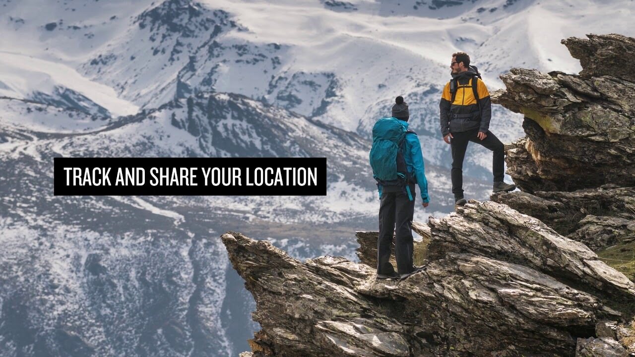
Staying in touch is vital, even on less challenging trips. Using inReach technology (subscription required), this handheld lets you trigger an SOS to the GEOS 24/7 emergency response team for interactive support in an emergency. It also enables two-way messaging and LiveTrack location sharing via the 100% global Iridium satellite network, so you can stay in contact with loved ones, teammates, headquarters and more.

GPSMAP 66i is fitted with the best in Garmin navigation. Preloaded Garmin TopoActive Europe mapping provides detailed views of topographic elevations, summits, parks, coastlines, rivers, lakes and geographical points. Direct-to-device downloads of BirdsEye Satellite Imagery provide high-resolution photo-realistic views of your route, trailheads, clearings and more — without an annual subscription. Support for multi-GNSS combined with altimeter, barometer and compass navigation sensors lets you track and navigate in challenging environments.

Wireless cellular connectivity lets you access Active Weather for up-to-date forecasts, including predictive maps for temperature, wind, precipitation and clouds — right on the handheld when connected to Garmin Connect Mobile.

The free Garmin Explore mobile app lets you plan, review and sync data, including waypoints, routes, activities and collections. Review completed activities while still in the field, even when you're off the grid. The app also lets you sync your GPSMAP 66i with your compatible mobile device so you can access unlimited maps, aerial imagery and U.S. NOAA charts. You can even use all of the inReach features on your paired mobile device. For easier messaging, you can access your phone's contact list from the Garmin Explore app to connect with fewer keystrokes. Plan for future trips and review previous activities from the Garmin Explore website.

Physical dimensions 6.6 x 16.3 x 3.5 cm
Display size 3.8 x 6.3 cm; 3" diag (7.6 cm)
Display resolution 240 x 400 pixels
Display type Transflective colour TFT
Weight 241 g
Battery Rechargeable lithium-ion
Battery life Up to 35 hours at 10-minute tracking; up to 200 hours at 30-minute tracking (power save mode)
Water rating IPX7
Memory/history 16GB
High-sensitivity receiver
Interface High-speed USB and NMEA 0183 compatible

Maps & memory

Preloaded maps Yes (topographic)
Ability to add maps
Basemap
Storage and power capacity microSD™ card (not included)
Waypoints/favourites/locations 10,000
Routes 250
Track log 20,000 points, 250 saved gpx tracks, 300 saved fit archives

Sensors

Barometric altimeter
Compass Yes (tilt-compensated 3-axis)

In the box:
  • GPSMAP 66i
  • Access to Birdseye Satellite Imagery
  • Charging/data cable
  • Carabiner clip
  • Documentation

Den omtrentlige størrelsen på det pakkede produktet eller salgspakken er 60 x 180 x 160 mm.


Barometrisk høydemåler
Ja


Battery life max (h)
200


Egnet for geocaching
Ja


IP Classification
IPX7


Satellittkommunikasjon
Ja


Screen size (inches)
3,0


Skjerm oppløsning
240 x 400


Vekt
0,48 kg


Garantiperiode
24 mnd


Produksjonsland
Taiwan


Kommentarer
juk...@...om bekreftet kjøper, 19.12.2022
Genrell vurdering
Oversatt av GoogleVis original
Fem stjerner for navigatøren. Et av terrengkartene over Finland er utelatt i pakken, noe som ikke har noen verdi for meg fordi rutingen ikke fungerer.

Anonym bekreftet kjøper, 9.8.2022
Genrell vurdering
Oversatt av GoogleVis original
Bruken krever litt øvelse, fordi det er mange funksjoner. I strømsparingsmodus varer batteriet veldig bra. Garminert Garmin-kvalitet.
sam...@...om bekreftet kjøper, 23.7.2021
Genrell vurdering
Oversatt av GoogleVis original
Robust, pålitelig og "tastatur" tilgjengelig med hansker i hånden. Akkurat det jeg fant meg selv. For første gang allerede dryppet og gryntet uten skade.
pekka U. bekreftet kjøper, 12.4.2021
Genrell vurdering
Oversatt av GoogleVis original
Bruken er fortsatt i sin spede begynnelse, og etter GPSMAP64-er er det mange forskjeller i funksjonalitet som må utforskes og nye driftsmodeller blir funnet. Å hente en værmelding midt i villmarken var en veldig god funksjon.
Anonym bekreftet kjøper, 29.3.2021
Genrell vurdering
Oversatt av GoogleVis original
Sikret Garmin-kvalitet. Gode klare kart, god skjerm og ganske enkel å bruke. Satellittforbindelsen fungerer overalt, og stedet kan enkelt deles. For kort batterilevetid. Enheten skal lades hver dag, og ladehullet er i bakdekselet, så det er heller ikke lett å lade i lommen. For lange turer vil Explorer-modellen være det riktige valget.
jan w. bekreftet kjøper, 10.3.2021
Genrell vurdering
Oversatt av GoogleVis original
God enhet, grunnleggende funksjoner fungerer. Med selvlagde ruter, vær forsiktig så du ikke tvinger kompasset til å vises på et veipunkt som allerede har blitt passert på avstand, men til det neste. Ikke mer å koble til telefonen. Ingen tilgjengelige meldinger kan fjernes fra enheten, og kontakter kan ikke oppdateres.
Teemu K. bekreftet kjøper, 11.7.2020
Genrell vurdering
Oversatt av GoogleVis original
Dette er modellen som allerede kan brukes i Finland og Europa. Hyggelig på steder der mobiltelefonen ikke fungerer og sørger for at hjemmet får informasjon om innkvarteringen og trivselen. Mange funksjoner og batterilading kan observeres at det er nok for et trangt sted.
Pasi P. bekreftet kjøper, 11.6.2020
Genrell vurdering
Oversatt av GoogleVis original
Dette er absolutt den ultimate enheten for fotturer i villmarksområder alene. Gjør det han lover. Det var hyggelig å legge en melding hjemme og også få meldinger fra utenfor mobilnettene. På slutten av ukens tur var det fortsatt 30-40% igjen i batteriet, selv om overvåking var på gjennom hele turen.
Lasse L. bekreftet kjøper, 7.1.2020
Genrell vurdering
Oversatt av GoogleVis original
Bare brukt i noen uker. En solid enhet som har oppfylt forventningene. Å bruke telefonen og datamaskinen i forskjellige funksjoner er fremdeles i lærings- og testfasen. Disse bruksanvisningene av høyere kvalitet vil være nyttige.
Jani H. bekreftet kjøper, 4.1.2020
Genrell vurdering
Oversatt av GoogleVis original
Veldig bra spill. Utmerkede funksjoner.
Vis alt (12) Legg til komentar

Varemerke


GPSMAP 66i: Premium GPS Handheld and Satellite Communicator

Produkter som ofte er kjøpt med dette produktet:


Blogg

Hanki esiladattu kartta-aineisto mukaan muistikorttipaikkaisiin Garmin-laitteisiin

Myymme muistikorttipaikkaisiin Garmin GPS-laitteisiin microSD-korttia, johon on esiladattu Maanmittauslaitoksen kartta-aineiston pohjalta laadittu maastokartta (Tekijä on Teemu Peltonen. Lisensoitu Creative Commons Nimeä-Ei muutoksia-Epäkaupallinen 4.0 Muokkaamaton -lisenssillä.)...


Benefits and Uses of Garmin inReach Devices

Garmin inReach devices provide safety and connect you with your loved ones, no matter what adventure you embark on The best adventures are often experienced far from civilization. Whether climbing mountain slopes, hiking deep in the forest, or paddling on the sea, you can enjoy t...