

Garmin
191 producten

| Algemene waardering | (1 recensie) |
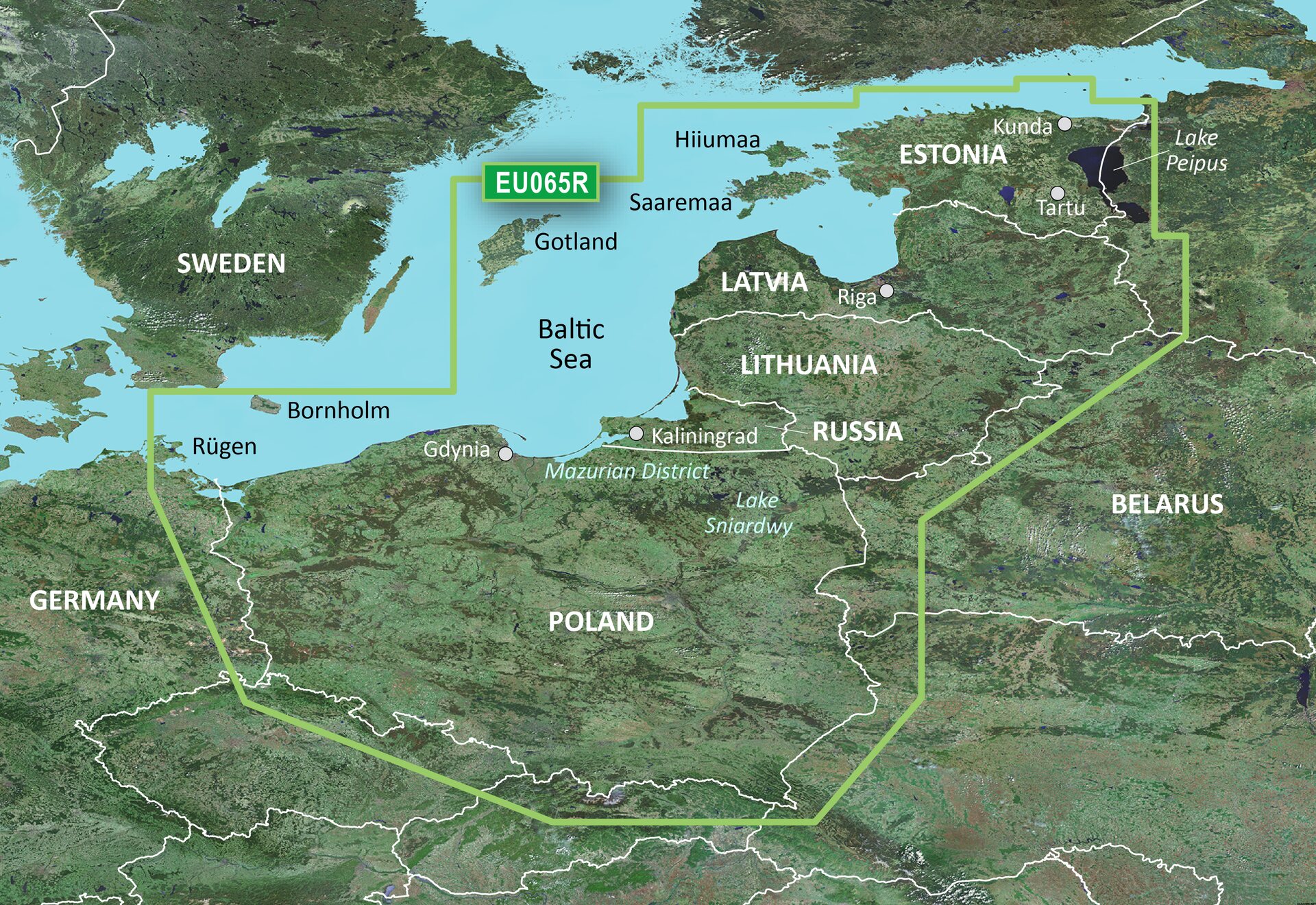
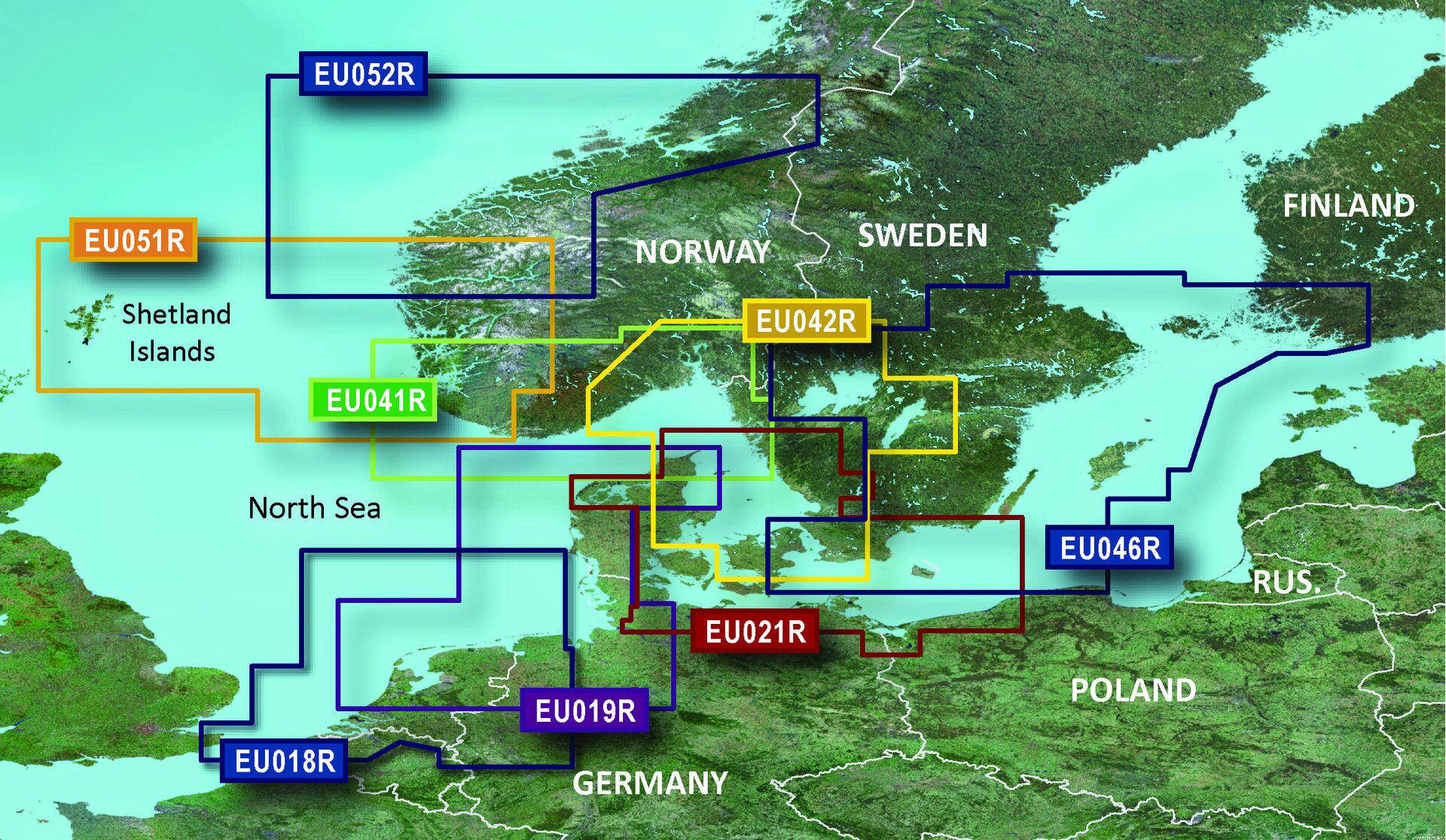
Coverage of the Baltic Sea coasts of Poland, Russia, Lithuania, Latvia and Estonia from Rügen, from the German border to Narva-Jõesuu, EE and the lakes and rivers of Poland, Belarus and the Baltic States. Coverage includes the entire Gulf of Riga, the Szczecin, Vistula and Kurshskiy Lagoons, the ports of Tallinn, Riga, Gydnia, Gdansk and Kaliningrad, the islands of Bornholm, Gotland, Saaremaa, Hiiumaa, the Oder, Vistula, Bug, Neman, Emajõgi and Daugava Rivers, Lakes Peipus, Pihkva and Vörtsjäve, the Masurian District Lakes including Lake Jeziorak, Lake Łańskie and Lake Śniardwy and Lakes Snudy/Strusto, Miastra, Batorino, Lukomshoye and Selyava in Belarus.
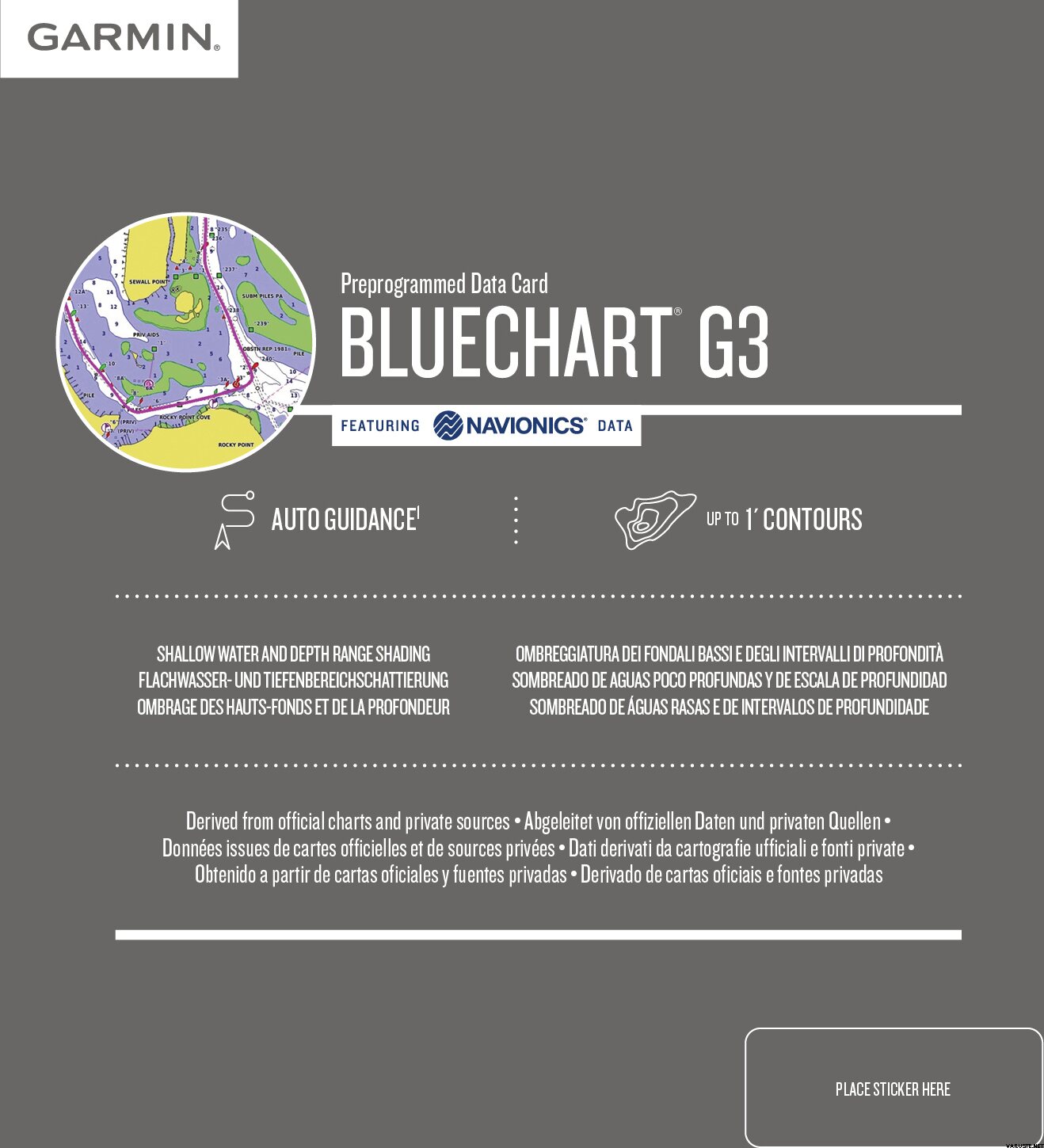
Advanced Chart Offering
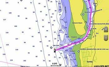
Detailed charts help the mariner guide their boat in and out of port with confidence.
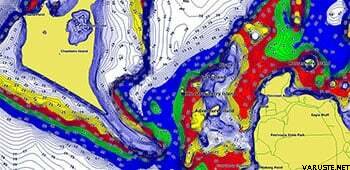
Displays high-resolution Depth Range Shading for up to 10 depth ranges so you can view your designated target depth.
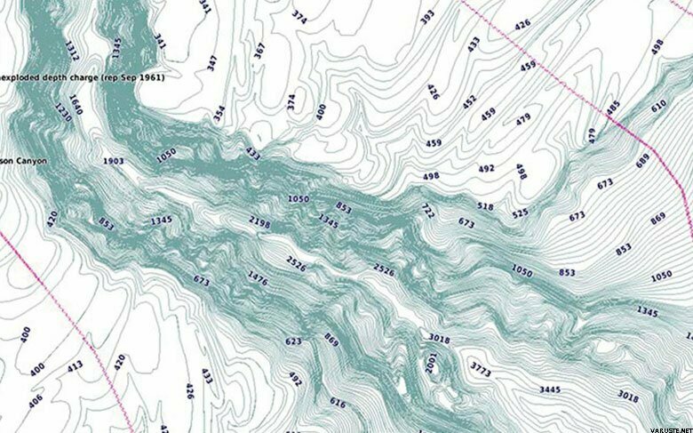
BlueChart g2 HD features 1-foot contours that provide a more accurate depiction of bottom structure for improved fishing charts and enhanced detail in swamps, canals and port plans.
 Verenigd Koninkrijk
| Algemene waardering | ☆☆☆☆☆ |
 — Origineel weergeven