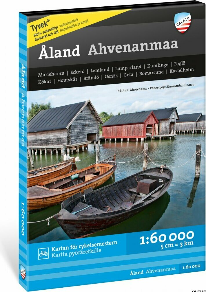
Calazo Ahvenanmaa Åland 1:60 000
Immediately
Detailed availability
Location Store (Helsinki): Trekking, Zone 11
Product description
The Åland archipelago is an ideal destination for cyclists, kayakers and skaters. An excellent road network and island ferries will lead you on an unforgettable journey. Picturesque landscapes and friendly customer service also fascinate kayakers. The winter winds clean the ice to skating condition somewhere around the islands.
Hikers will be surprised by the numerous day trip routes and even multi-day hikes! Challenging boulders and small cliffs attract boulderers from all over Europe. Here you feel at home and at the same time almost abroad.
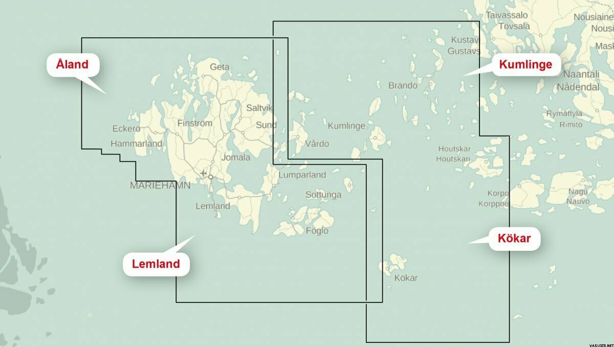
The map covers the Åland archipelago and its surroundings as well as part of the Turku archipelago. It guides you to interesting hiking, cycling and kayaking routes as well as climbing rocks. The map also includes attractions, archipelago shops and accommodation and camping services. For paddlers and excursion skaters, chart information such as lines, other sea marks and depth readings have been added.
Calazo combines local camping and tourism information as well as terrain map and sea chart materials. They are printed on the excellent Tyvek® material, which is water-resistant and tear-resistant. So you don't have to protect your map from the rain, but you can use it as a seat pad. The manufacturer guarantees that the material will last 20,000 folds. Thanks to the ingenious magazine distribution, all the most important excursion destinations in the area can be found on the same map.
Waterproof
Yes
Weight
0,116 kg(Includes the weight of the packaging)
Country of origin
CommentsAdd a comment
Brand
 reviews


