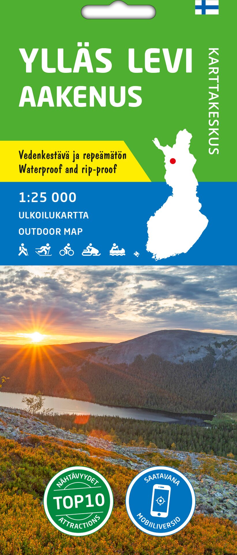
Ylläs Levi Aakenus 1:25 000, ulkoilukartta 2021
This product is not for sale at the moment.
Detailed availability
Reviews
| Overall rating | (3 reviews) |
Product description
Länsi-Lapin suosituimmat tunturikeskukset vedenkestävällä ulkoilukartalla.
Ulkoilukartta Ylläs Levi Aakenus 1:25 000 on painettu vedenkestävälle materiaalille. Kestävät kotimaiset ulkoilukartat tunnistat kannen keltaisesta merkinnästä.
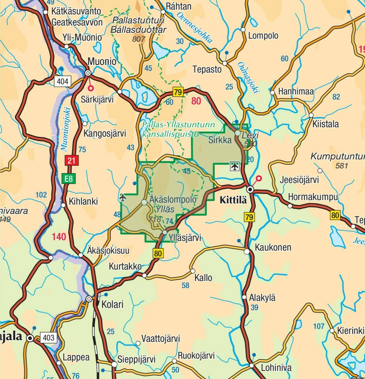
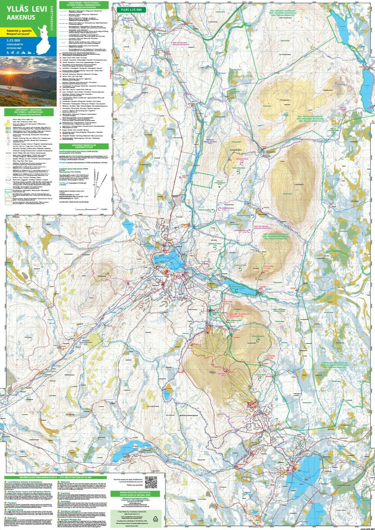
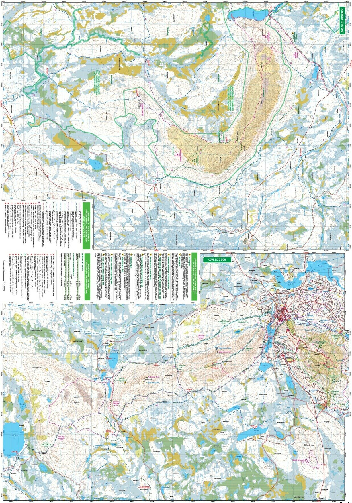
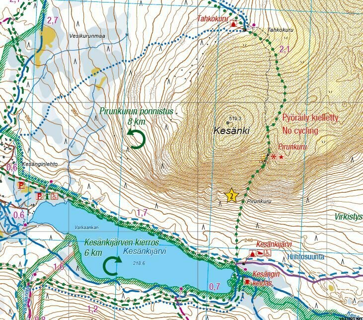
Kaksipuolinen kartta kattaa Pallas–Yllästunturin kansallispuiston eteläosan ympäristöineen aiempaa tarkemmassa mittakaavassa. Ylläksen mahtavan tunturijonon sylissä on Äkäslompolon ja Ylläsjärven kylät ja Sirkan kylässä Levin matkailukeskus. Seudulla on kattava retkeily-, latu- ja maastopyöräreitistö, joka yhdistyy Aakenuksen alueen kautta Levin reitteihin. Pohjoisessa vaellusreitti johtaa Pallaksen suuntaan. Kartalle on merkittu myös haastava Ylläksen ja Levin välinen maastopyöräreitti. Ensimmäistä kertaa mukana ovat kattavasti lumikenkäilyreitit ja huolletut talvipyöräilyreitit!
Kartan materiaali on täysin vedenpitävää ja kestää lähes rajattomasti taittamista, eikä se repeä normaalissa karttakäytössä. Ominaisuudet säilyvät myös pakkasessa ja helteessä. Kartta on sormituntumaltaan miellyttävä ja paperille painettua kevyempi.
Maastotietojen lisäksi karttaan on merkitty muun muassa tuvat, reitit ja muut retkeilypalvelut sekä ruokailu- ja majoituspaikat. Kartalle on lisätty sen alueelta kymmenen nähtävyyttä tai kokemusta, joista on kerrottu muutamalla lauseella kartan reunuksessa suomeksi ja englanniksi. Kartan reunuksessa on myös kaikkien alueen tupien koordinaatit sekä tiedot erannosta. Mittakaava on parhaiten tunturikeskusten tiheälle reittiverkostolle sopiva 1:25 000 (1 cm kartalla = 250 m maastossa).
Painovuosi
Materiaali
Tyvek
Mittakaava
1:25 000
Mitat
Koko avattuna: 70 × 100 cm
Kieli
suomi | ruotsi | englanti | saksa | venäjä
300005
Kirjastoluokka
42.02
Waterproof
Yes
Weight
0,1 kg(The product may have a light retail packaging.)
Country of origin
Comments
| Overall rating | ☆☆☆☆☆ |
 — Show original
 reviews
