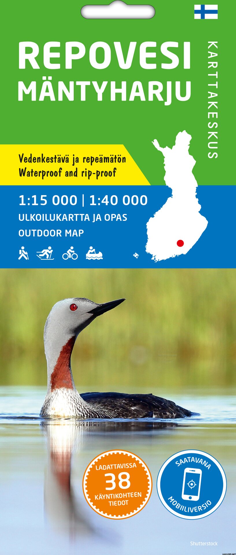
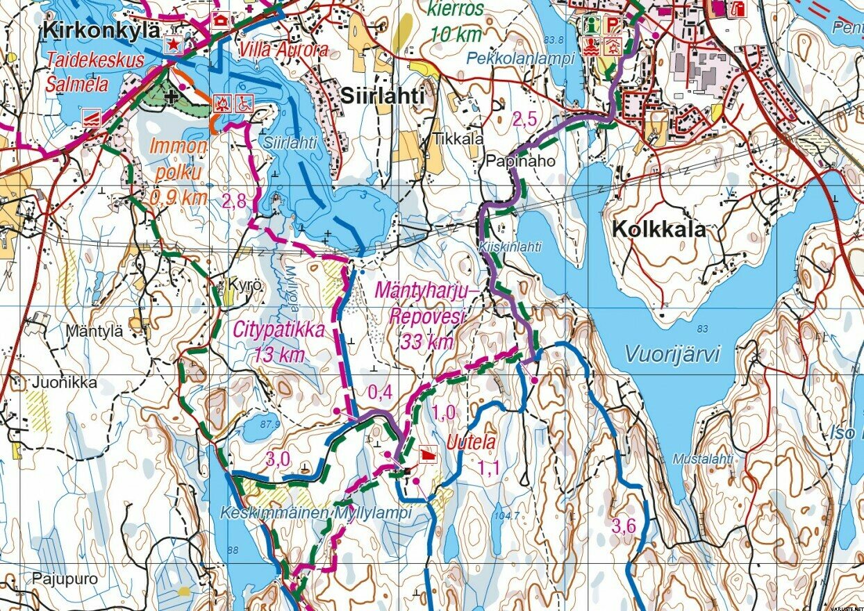
Repovesi Mäntyharju 1:15 000 / 1:40 000, vedenkestävä ulkoilukartta ja opas 2021
This product could not be added to the shopping cart, because it is not for sale at the moment or for some other reason.
Reviews
| Overall rating | (5 reviews) |
Product description
Ulkoilukartta ja opas Repovesi Mäntyharju 1:15 000 / 1:40 000 on painettu vedenkestävälle synteettiselle materiaalille ja pakattu pahvikoteloon. Kestävät kotimaiset ulkoilukartat tunnistaa kannen keltaisesta merkinnästä.
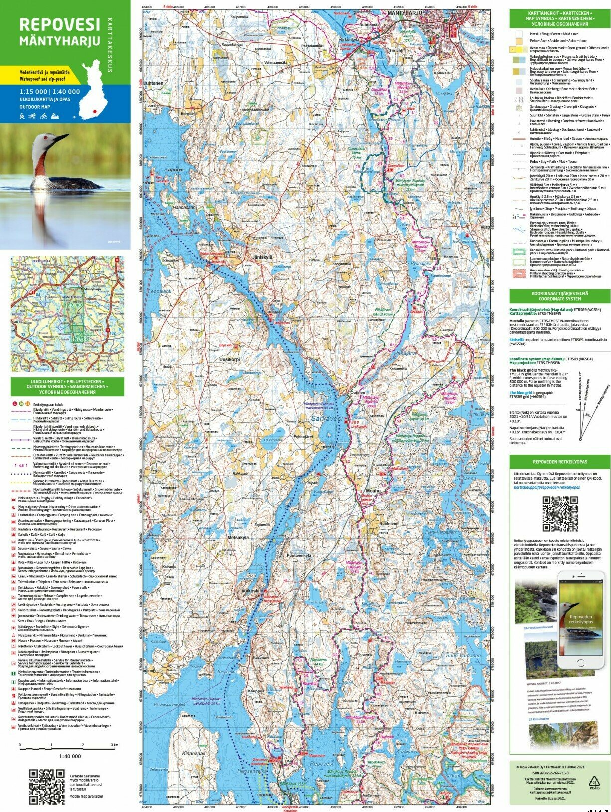
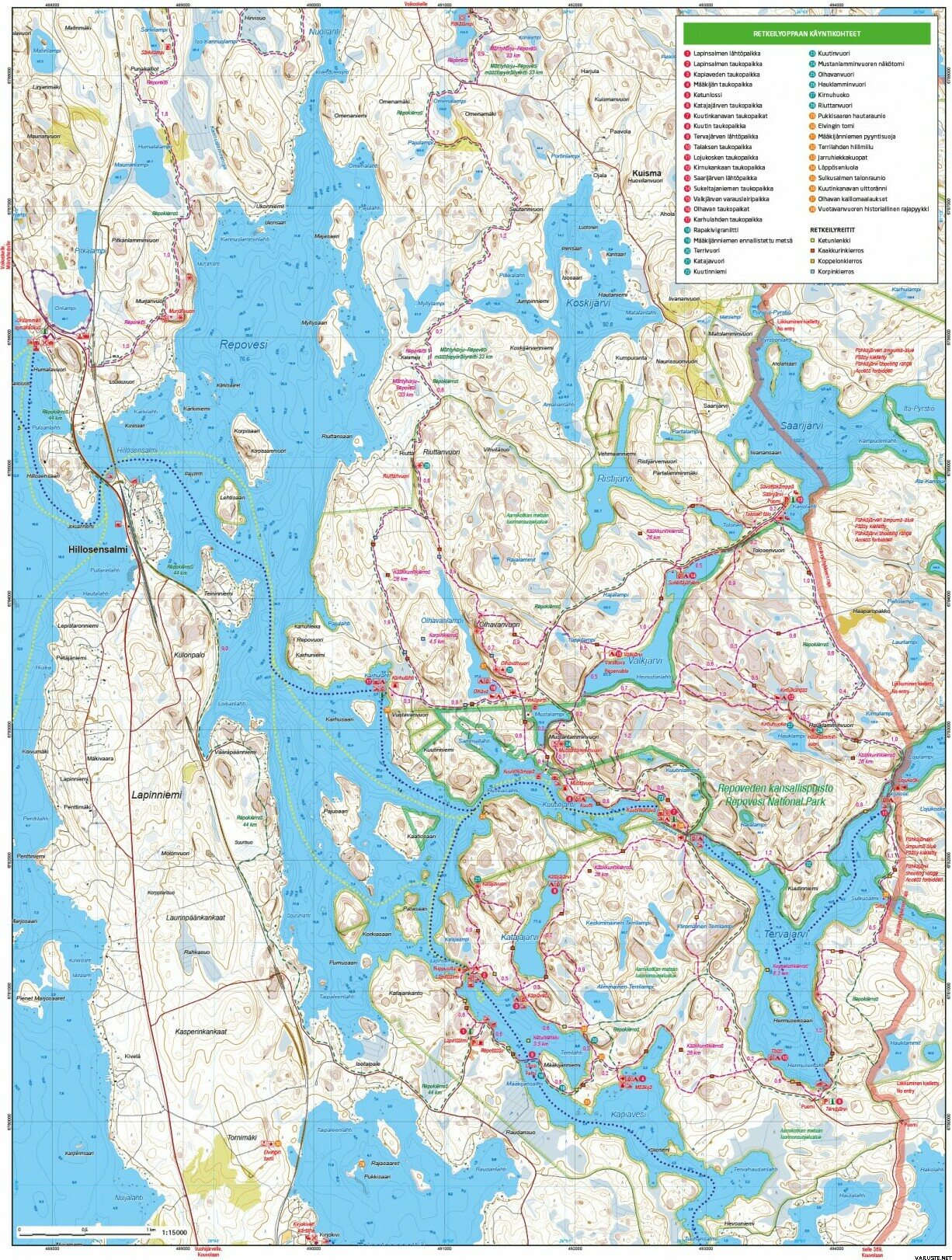
Kaksipuolisella kartalla kuvataan aiempaa tarkemmin Repoveden kansallispuisto lähiympäristöineen sekä Mäntyharjun kuntakeskuksen ja Repoveden välinen alue. Suositun kansallispuiston jylhät kalliot ja upeat vesireitit tarjoavat Etelä-Suomen erämaisimpia elämyksiä päiväretkistä useamman päivän taipaleisiin. Pohjoisen suunnasta Mäntyharjulta kansallispuistoon johtaa noin 30 kilometrin vaellusreitti ja suosittu maastopyöräreitti. Kartta soveltuu myös näiden reittien kulkijalle.
Kartan materiaali on täysin vedenpitävää ja kestää lähes rajattomasti taittamista, eikä se repeä normaalissa karttakäytössä. Ominaisuudet säilyvät myös pakkasessa ja helteessä. Kartta on sormituntumaltaan miellyttävä ja paperille painettua kevyempi.
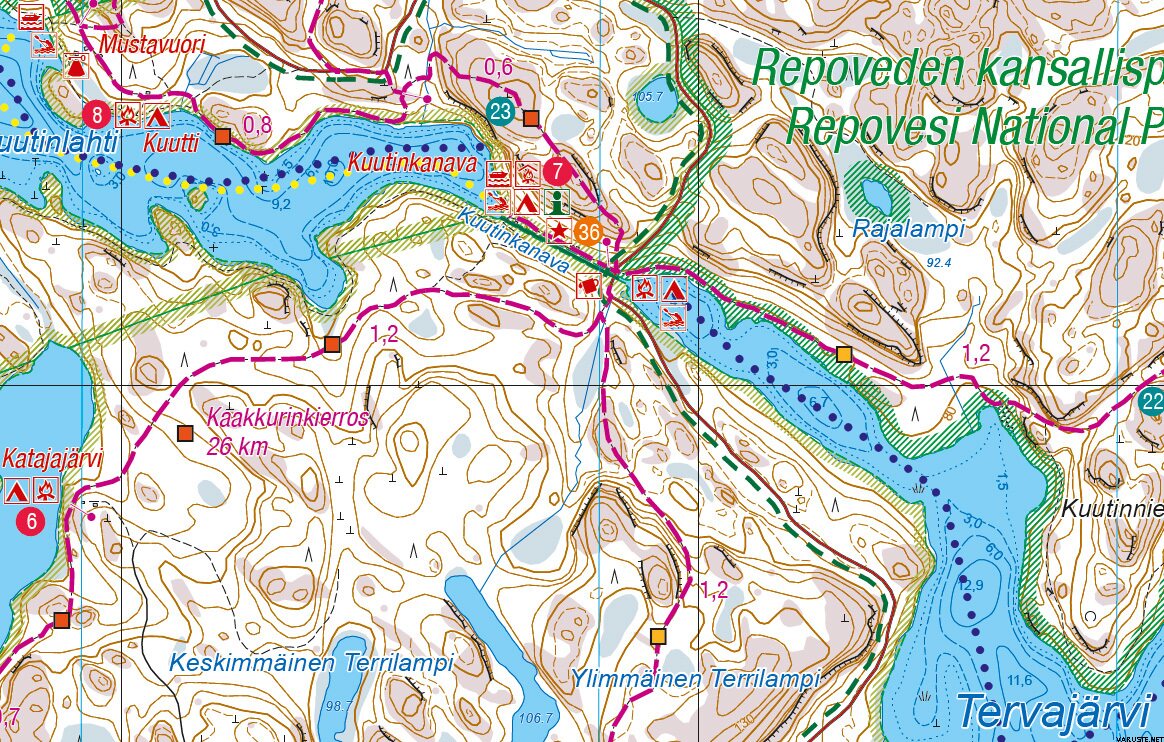
Maastotietojen lisäksi karttaan on merkitty muun muassa reitit ja muut retkeilypalvelut sekä ruokailu- ja majoituspaikat. Mukana on myös tiedot erannosta. Etupuolen Repoveden kartan mittakaava on tarkka 1:15 000 (1 cm kartalla = 150 m maastossa) ja Mäntyharjulle ulottuvan kääntöpuolen 1:40 000 (1 cm kartalla = 400 m maastossa).
Ulkoilukartalle merkittyjen noin 40 käyntikohteen tiedot löytyvät ladattavissa olevasta sähköisestä retkeilyoppaasta.
| Mittakaava | 1:15 000 / 1:40 000 |
|---|---|
| Koko avattuna | 49 × 65 cm |
| Koko taiteltuna | 10.5 x 24.5 x 0.3 cm |
| Ulkoasu | Taitettu, vedenkestävä |
| Kirjastoluokka | 42.02 |
| ISBN | 978-952-266-716-8 |
| EAN | 9789522667168 |
| Kustantaja | Karttakeskus |
| Kieli | fin, swe, eng, ger, rus |
| Painovuosi | 2021 |
| Ilmestynyt | 25.07.2021 |
Waterproof
Yes
Weight
0,05 kg(Includes the weight of the packaging)
Isbn
978-952-266-716-8
Comments
| Overall rating | ☆☆☆☆☆ |
 — Show original
 reviews
