Sportarten‪» Aktivitäten im Freien‪» Elektronik‪» GPS-Geräte‪» Outdoor GPS‪»

Garmin GPSMAP 66i and TopoActive Europe

Garmin GPSMAP 66i and TopoActive Europe

Garmin GPSMAP 66i and TopoActive Europe

Kampagnenpreis
580,07 + versand- und Zahlungskosten
Angebot gültig bis
Normaler Preis 649,00 €
MwSt. im Preis enthalten 25.5 %


Anzahl
stck


Geschäft (Helsinki)im Regal0 stck
Im Onlineshop erhältlich0 stck

Bestellungscode
010-02088-02
Strichcode
753759218744

Siehe auch
Karten
National Land Survey Of Finland: Electronic Map of Finland in microSD
+25,00 €


Sie können nicht mehr als die Anzahl der Artikel bestellen, die wir auf Lager haben.
Verfügbarkeit
Ungefähr 3 - 15 tag(e) seit der Bestellung. Die Zuverlässigkeit der Schätzung ist ziemlich gut.

Verfügbarkeit auf Lager
Ich möchte benachrichtigt werden, wenn dieser Artikel auf Lager ist


Bewertungen
Gesamtbewertung ()


Artikelbeschreibung
Rugged GPS handheld and inReach satellite communicator with Garmin TopoActive Europe mapping.
  • Large 3" sunlight-readable colour display for easy viewing
  • Trigger an interactive SOS to the GEOS 24/7 search and rescue monitoring center; two-way messaging via the 100% global Iridium® satellite network (satellite subscription required)
  • Preloaded Garmin TopoActive Europe mapping with direct-to-device BirdsEye Satellite Imagery downloads (no annual subscription); includes multiple Global Navigation Satellite Systems (GNSS) support and navigation sensors
  • Cellular connectivity lets you access Active Weather forecasts and Geocaching Live
  • Compatible with the Garmin Explore™ website and app to help you manage waypoints, routes, activities and collections, use tracks and review trip data from the field
  • Internal, rechargeable lithium battery provides up to 35 hours of battery life in 10-minute tracking mode; 200 hours in Expedition mode with 30-minute tracking intervals
The sturdy, button-operated GPSMAP 66i features a large 3" colour display you can see even in bright sunlight. If you're out in the field for long stretches of time, you can turn on Expedition mode and get up to 200 hours of battery life while using inReach technology. In the default tracking mode, you get up to 35 hours of battery life, and your device will save your location every 10 minutes.

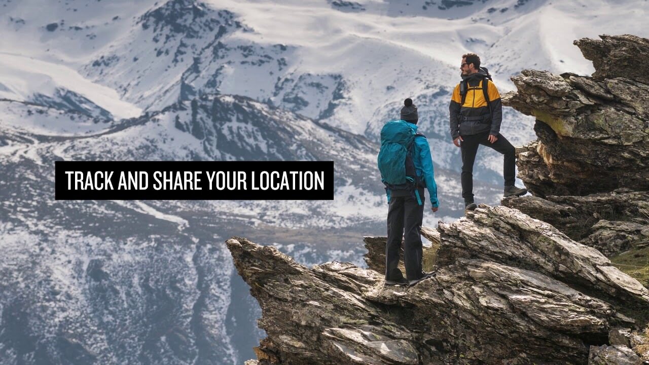
Staying in touch is vital, even on less challenging trips. Using inReach technology (subscription required), this handheld lets you trigger an SOS to the GEOS 24/7 emergency response team for interactive support in an emergency. It also enables two-way messaging and LiveTrack location sharing via the 100% global Iridium satellite network, so you can stay in contact with loved ones, teammates, headquarters and more.

GPSMAP 66i is fitted with the best in Garmin navigation. Preloaded Garmin TopoActive Europe mapping provides detailed views of topographic elevations, summits, parks, coastlines, rivers, lakes and geographical points. Direct-to-device downloads of BirdsEye Satellite Imagery provide high-resolution photo-realistic views of your route, trailheads, clearings and more — without an annual subscription. Support for multi-GNSS combined with altimeter, barometer and compass navigation sensors lets you track and navigate in challenging environments.

Wireless cellular connectivity lets you access Active Weather for up-to-date forecasts, including predictive maps for temperature, wind, precipitation and clouds — right on the handheld when connected to Garmin Connect Mobile.

The free Garmin Explore mobile app lets you plan, review and sync data, including waypoints, routes, activities and collections. Review completed activities while still in the field, even when you're off the grid. The app also lets you sync your GPSMAP 66i with your compatible mobile device so you can access unlimited maps, aerial imagery and U.S. NOAA charts. You can even use all of the inReach features on your paired mobile device. For easier messaging, you can access your phone's contact list from the Garmin Explore app to connect with fewer keystrokes. Plan for future trips and review previous activities from the Garmin Explore website.

Physical dimensions 6.6 x 16.3 x 3.5 cm
Display size 3.8 x 6.3 cm; 3" diag (7.6 cm)
Display resolution 240 x 400 pixels
Display type Transflective colour TFT
Weight 241 g
Battery Rechargeable lithium-ion
Battery life Up to 35 hours at 10-minute tracking; up to 200 hours at 30-minute tracking (power save mode)
Water rating IPX7
Memory/history 16GB
High-sensitivity receiver
Interface High-speed USB and NMEA 0183 compatible

Maps & memory

Preloaded maps Yes (topographic)
Ability to add maps
Basemap
Storage and power capacity microSD™ card (not included)
Waypoints/favourites/locations 10,000
Routes 250
Track log 20,000 points, 250 saved gpx tracks, 300 saved fit archives

Sensors

Barometric altimeter
Compass Yes (tilt-compensated 3-axis)

In the box:
  • GPSMAP 66i
  • Access to Birdseye Satellite Imagery
  • Charging/data cable
  • Carabiner clip
  • Documentation

Die geschätzte Größe des verpackten Artikels oder die Größe der Verpackung 60 x 180 x 160 mm.


Barometrischer Höhenmesser
Ja


Battery life max (h)
200


Geeignet für Geocaching
Ja


IP Classification
IPX7


Präzision des Bildschirms
240 x 400


Satellitenkommunikation
Ja


Screen size (inches)
3,0


Gewicht
0,48 kg


Garantie
24 Monat(e)


Herkunftsland
Taiwan


Kommentare
juk...@...om verifizierter Käufer, 19.12.2022
Gesamtbewertung
Übersetzt von GoogleOriginal anzeigen
Fünf Sterne für das Navi. Eine der Geländekarten von Finnland fehlt im Paket, was für mich keinen Wert hat, da das Routing nicht funktioniert.

Anonym verifizierter Käufer, 9.8.2022
Gesamtbewertung
Übersetzt von GoogleOriginal anzeigen
Die Nutzung erfordert ein wenig Übung, da es sehr viele Features gibt. Im Energiesparmodus hält der Akku sehr gut. Garantierte Garmin-Qualität.
sam...@...om verifizierter Käufer, 23.7.2021
Gesamtbewertung
Übersetzt von GoogleOriginal anzeigen
Robust, zuverlässig und "Tastatur" mit Handschuhen in der Hand erhältlich. Genau das, was ich selbst gefunden habe. Zum ersten Mal schon tropfte und grunzte ohne Schaden.
pekka U. verifizierter Käufer, 12.4.2021
Gesamtbewertung
Übersetzt von GoogleOriginal anzeigen
Die Nutzung steckt noch in den Kinderschuhen und nach GPSMAP64 gibt es viele Unterschiede in der Funktionalität, die untersucht und neue Betriebsmodelle gefunden werden müssen. Es war wirklich gut, mitten in der Wildnis einen Wetterbericht aufzunehmen.
Anonym verifizierter Käufer, 29.3.2021
Gesamtbewertung
Übersetzt von GoogleOriginal anzeigen
Gesicherte Garmin-Qualität. Gute klare Karten, guter Bildschirm und ziemlich einfach zu bedienen. Die Satellitenverbindung funktioniert überall und der Standort kann einfach geteilt werden. Akkulaufzeit zu kurz. Das Gerät sollte jeden Tag aufgeladen werden und das Ladeloch befindet sich in der hinteren Abdeckung, sodass das Aufladen in der Tasche ebenfalls nicht einfach ist. Für lange Wanderungen wäre das Explorer-Modell die richtige Wahl.
jan w. verifizierter Käufer, 10.3.2021
Gesamtbewertung
Übersetzt von GoogleOriginal anzeigen
Gutes Gerät, Grundfunktionen funktionieren. Achten Sie bei selbst erstellten Routen darauf, dass der Kompass nicht an einem Wegpunkt erscheint, der bereits aus der Ferne passiert wurde, sondern zum nächsten. Keine Verbindung mehr zum Telefon. Es können keine in Reichweite befindlichen Nachrichten vom Gerät entfernt und Kontakte nicht aktualisiert werden.
Teemu K. verifizierter Käufer, 11.7.2020
Gesamtbewertung
Übersetzt von GoogleOriginal anzeigen
Dies ist das Modell, das bereits in Finnland und Europa verwendet werden kann. Schön an Orten, an denen das Handy nicht funktioniert und dafür sorgt, dass das Haus Informationen über die Unterkunft und das Wohlbefinden erhält. Viele Merkmale und Batterieentladungen können beobachtet werden, dass es für einen engen Platz ausreicht.
Pasi P. verifizierter Käufer, 11.6.2020
Gesamtbewertung
Übersetzt von GoogleOriginal anzeigen
Dies ist absolut das ultimative Gerät, wenn Sie allein in Wildnisgebieten wandern. Tut was er verspricht. Es war schön, eine Nachricht zu Hause zu platzieren und auch Nachrichten von außerhalb der Mobilfunknetze zu erhalten. Am Ende der Woche befanden sich noch 30-40% in der Batterie, obwohl die Überwachung während der gesamten Reise aktiviert war.
Lasse L. verifizierter Käufer, 7.1.2020
Gesamtbewertung
Übersetzt von GoogleOriginal anzeigen
Nur für ein paar Wochen verwendet. Ein robustes Gerät, das die Erwartungen erfüllt hat. Die Nutzung des Telefons und des Computers in verschiedenen Funktionen befindet sich noch in der Lern- und Testphase. Diese Bedienungsanleitung von höherer Qualität wäre hilfreich.
Jani H. verifizierter Käufer, 4.1.2020
Gesamtbewertung
Übersetzt von GoogleOriginal anzeigen
Sehr gutes Spiel. Hervorragende Eigenschaften.
Alle anzeigen (12) Hinterlassen Sie einen Kommentar

Marke


GPSMAP 66i: Premium GPS Handheld and Satellite Communicator

Artikel, die häufig mit diesem Artikel zusammenbestellt wurden:


Blog

Hanki esiladattu kartta-aineisto mukaan muistikorttipaikkaisiin Garmin-laitteisiin

Myymme muistikorttipaikkaisiin Garmin GPS-laitteisiin microSD-korttia, johon on esiladattu Maanmittauslaitoksen kartta-aineiston pohjalta laadittu maastokartta (Tekijä on Teemu Peltonen. Lisensoitu Creative Commons Nimeä-Ei muutoksia-Epäkaupallinen 4.0 Muokkaamaton -lisenssillä.)...


Vorteile und Einsatzmöglichkeiten von Garmin inReach-Geräten

Garmin inReach-Geräte bieten Sicherheit und verbinden Sie mit Ihren Lieben, egal welches Abenteuer Sie erleben Die besten Abenteuer erlebt man oft weit entfernt von der Zivilisation. Beim Klettern an Berghängen, beim Wandern tief im Wald oder beim Paddeln auf dem Meer kann man di...